Download
1 / 18
180 likes | 328 Views
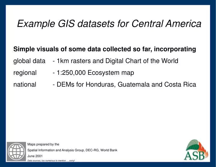
Example GIS datasets for Central America Simple visuals of some data collected so far, incorporating global data - 1km rasters and Digital Chart of the World regional - 1:250,000 Ecosystem map national - DEMs for Honduras, Guatemala and Costa Rica. Maps prepared by the

E N D
Example GIS datasets for Central America Simple visuals of some data collected so far, incorporating global data - 1km rasters and Digital Chart of the World regional - 1:250,000 Ecosystem map national - DEMs for Honduras, Guatemala and Costa Rica Maps prepared by the Spatial Information and Analysis Group, DEC-RG, World Bank June 2001 Data sources, too numerous to mention…..sorry!
Visual comparisons between freely available global elevation data (1km) and national datasets. Data so far Honduras 50m Guatemala 100m Costa Rica 30m We hope to obtain similar quality data for the remaining countries soon
Guatemala 100m DEM El Salvador 1km DEM
Guatemala 100m DEM Honduras 50m DEM El Salvador 1km DEM