Download
1 / 66
660 likes | 808 Views
The role of scientific information in sustainable Development: Focus in Latin America João Vianei Soares Director for earth observations. Who we are. Instituto Nacional de Pesquisas Espaciais - INPE. 03/08/61 Dec. No 51.133

E N D
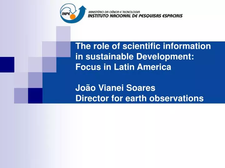
The role of scientific information in sustainable Development: Focus in Latin AmericaJoão Vianei SoaresDirector for earth observations
Who we are... Instituto Nacional de Pesquisas Espaciais - INPE 03/08/61 Dec. No 51.133 • Creates the Organizing Committee of the National Space Activities (GOCNAE). 22/04/71 Dec. No 68.532 • Extinguishes GOCNAE and creates the National Institute for Space Research (INPE)
INPE headquaters, 2004, São José dos Campos, SP 46 years in 2007
Where we are:our national instalations INPE – Cachoeira Paulista – SPRemote Sensing Data Center CPTEC Combustion and Propulsion Lab
How many... • Aprox. 1300 employees (300 PhD, 400 MsC and Engineers, 200 Technicians, 400 staff) • Aprox. 350 researchers, fellowships, Contractors • 600 graduate students in 6 programs
INPE’s mission Brazil due to be an environmental world leader of 21th century (Rubens Ricupero) • INPE to be one of the producers of the required science and to offer singular products and services to the benefit of mankind
INPE’s mission • Quality products and unique services
Examples of singular products for police making and society information... DETER Pará 2005
Pollution from burning and urban-industrial emissions Large scale regional scale Mega citiess
DATA INTO KNOWLEDGE SATELLITES Earth Observation, outer space and communications missions SOIL SYSTEMS Control, reception, processing and distribuition of spatial data ANALYSIS AND MODELING Space Science and Earth System Science Access to Knowledge Innovative Products to society
Stronger El Niños? Photo: Juca Martins
When will a new hurricane hit Brasil? Catarina Hurricane (mars/2004) Imagem NASA
Which science? what tools? • Process Modeling and supercomputing…
Weather Forecast Discussions SX6 SCD1 SCD2 Bulletins Weather forecast models PCD Satellite Imagery
CLIMATE DISCUSSION Sazonal Forecast Sea surface temperature Supercomputer + models Vegetation Index
CO2 emissions Temperature oC B1-low Temperature anomaly A2-high Climate change Supercomputer + models Changes in temperature in Brazil for year 2050
Annual Pecipitation Anomaly anual [(2071-2100)- (1961-90)] mm/dia dry dry dry dry B2 A2 Annual temperature anomaly [(2071-2100)- (1961-90)] oC hot hot B2 A2
Average temperature rose 0,7 C in the last 50 years! Tmin rose nearly 1 oC
Increase in precipitation in the south of Brasil (1951-2002) What caused increase in Precipitation: Natural variability or global warming?
Impacts on Agriculture Decrease of the potential producing area as temperature increases from 1 to 5.8oC 6000 corn 5000 beans 4000 Rice Potential Area (1000 km2) 3000 2000 Soybeans 1000 Coffee 0 Atual T + 1ºC T + 3 ºC T + 5,8 ºC Increase in average temperature Source: Eduardo Assad, Embrapa
Fate of Amazon Biomes? 2100 2000 savana campos floresta caatinga deserto Green forest savanization: reaching a new equilibrium biome-clima? source: Oyama and Nobre, 2003
Deforestation forecast on BR 319 (Manaus-Porto Velho) in 2020 with protection areas (governace) Novas áreas de proteção integral Diferenças no desflorestamento: ALAP BR 319 Estradas pavimentadas em 2010 Diminuição: 0.0 -0.50 Novas áreas de uso sustentável Estradas não pavimentadas Aumento: 0.0 0.10 Rios principais
Rio Grande Paraná Alto Paraguai Tiête Paranaíba Paranapanema Iguaçu The Paraná river basin and sub-basins
www.cptec.inpe.br 27/03/2004 – 51500 Fenômeno Catarina - SC 25/05/2005 – 81100 Enchentes - SP 31/08/2005 – 85000 Ciclone Extratropical - RS 24/02/2006 – 90740 Previsão para o Carnaval
Societal Benefits of the Space program – free data access Energy Ecosystems health Water Resources Agriculture Climate Disasters Biodiversity
Brazilian Network on Global Change STEERING COMMITEE EXECUTIVE SECRETARIAT SCIENTFIC COMMITTEE Science office Administration office
International satellites used for PRODES and DETER Data blackout in 2009?
If its written in English, must be true… Science, March 30 2007
Plan “Brasil as a Global EO player” • INPE to propose a roadmap to space technologies for 2010-2020 to the Brazilian Space Agency -AEB • Build a family of satellites to fly on the PMM • Launch at least one satellite per year • Sustain industrial contracts • Be the mover of the Brazilian launcher project • Explore potential convergence between CBERS and PMM
taking care of Brazil’s needs? 100 Tecnology 2000 CBERS-5 PAN CB3 50 Tecnology 2008 Identif CCD CB2 Mapping Agriculture Deforestation Tecnology 2015 10 Revisit Amaz-1 AWFI CB3 5 CBERS-6 WFI CB2 A1-CB3 Mapping Agriculture Brasil 2015 Detection of Deforestation 1 5 50 1 10 100 1000 Resolution
Plan INPE 2020 2010 2015 2020 CBERS-5B CBERS-5A CBERS-7 (SAR) CBERS-3 CBERS-4 CBERS-6A CBERS-6B GPM Lattes-1 Amazonia-1 Amazonia-3 Lattes-2 MAPSAR Amazonia-2
IRS SPOT SAC-C ERS-2, ENVISAT NOAA, POES, GOES RADARSAT-1 A virtual Constellation: the Charter ECO : On Duty Engineer ODO : On Duty Operator ESA CSA NOAA ISRO CONAE CNES PM : Project Manager AU : Authorized user
CBERS 3 – 4 Sensor Configuration WFI 73 m (860 km) MSS 40 m (120 km) CCD 20 m (120 km) MUX 10 m (60 km) PAN 5 m (60 km) 2.1 0.4 0.5 0.7 0.9 1.1 1.5 1.7 2.3 Built by China Built by Brazil mm
Industrial police: CBERS-3,4 • CBERS 3&4 • Participation of • National Industry - 50% of sub-sistems • Structure • Telecom • Cameras • Energy suply Total of national contracts – US$150 million
Amazônia-1 (an optical payload) AWFI • Global Imaging every three days when operating in tandem with CBERS-3 • Provide environmental data to the planet 0,45-0,52 B 0,52-0,59 G m Spectral bands m) 0,63-0,69 R 0,77-0,89 NIR Spatial resolution (m) 40 Swath (km) 780 5 Revisit (days)
Exemple of nacional achievements • Camera MUX (OPTO) • Main sensor on CBERS-3/4 • CCD with 5 bands and 20 m resolution
MAPSAR (a light SAR) subreflector, data downlink Reflector antenna Antenna feeder SAR module Solar Panel PMM
Multimission Plataform (PMM) A bus to carry various Earth Observation satellites 600 - 1200 km altitude 300 kg payload e 250 kg other subsystems Replicate cost: US$ 15 milhões