Download
1 / 16
160 likes | 263 Views
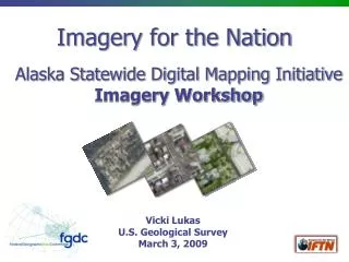
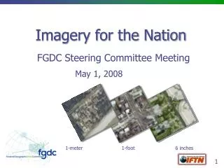
Imagery for the Nation. FGDC Coordination Group Update. 1-meter 1-foot 6 inches. Vicki Lukas, USGS September 4, 2008. Last IFTN Update 7/1/08. FGDC Executive Committee meeting formed and agreed to pursue IFTN Executive Champion roles identified

E N D
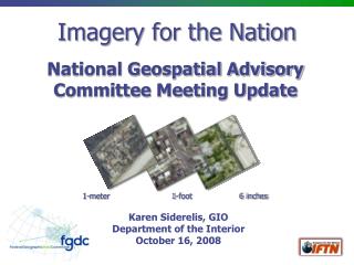
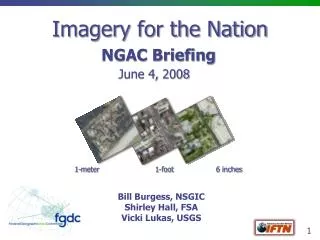
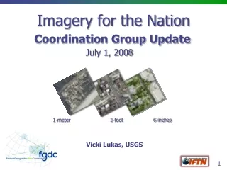
Imagery for the Nation FGDC Coordination Group Update 1-meter 1-foot 6 inches Vicki Lukas, USGS September 4, 2008
Last IFTN Update 7/1/08 FGDC Executive Committee meeting formed and agreed to pursue IFTN Executive Champion roles identified NGAC endorsed IFTN with a list of concerns June 23 – First meeting of Executive Champion Oversight Group
IFTN Phase 1 Project • Define Federal imagery requirements – consistent, comprehensive documentation of Federal imagery requirements does not exist to validate or revise the proposed IFTN specifications and cycle times; includes Federal requirements for Alaska • Document Federal imagery expenditures – data calls have been inconclusive • Improve Federal imagery acquisition within existing resources and capabilities – Phase 1 is not seeking new funding but defining efficiencies and an enterprise approach to leverage investments across agencies • Explore IFTN implementation – develop a plan based on documented requirements and to include Alaska and Hawaii • Institutionalize imagery funding - explore whether and how Federal agencies can move from the “tin cup” approach to institutionalize reliable funding for a national geospatial data acquisition effort • Model a process for Federal enterprise geospatial data acquisition efforts – Use a mature initiative, IFTN, to test geospatial coordination at the enterprise level and create a process applicable to other initiatives (national lidar, cadastral, transportation, etc.)
Outcome 1: Rescope NAIP & UAIP • The primary proposed changes to the USDA National Agriculture Imagery Program (NAIP) are • Cycle time - reducing from 5 to 3 years to achieve 1 meter national coverage • Funding model - moving from “tin cup”/project based contributions to a prescribed Federal annual contribution over 3 years to complete national coverage • The primary proposed change to the USGS–NGA Urban Area Imagery Partnership (UAIP) is to broaden the high-resolution (1’ or better) requirements and planning process to allow for greater coordination and to potentially increase leveraging of funds and the amount of imagery data that can be acquired • Timeframes: End of calendar year
Outcome 2: IFTN Plan • Define and document Federal imagery requirements and expenditures to determine if the current IFTN vision and specifications meet Federal enterprise needs or if they should be revised • Draft a plan for implementing IFTN across the Federal enterprise in partnership with state and local government, as scoped through the requirements process • IFTN Plan will address AK and HI • Timeframe: complete plan by end of calendar year
Project Management Project Charter approved, signatures in process Work Groups established and operational Collaboration site established High-level gantt chart developed, being refined by Work Groups Project assumptions being refined NGAC issues being addressed Handout and website in progress
Project Assumptions (1 of 3) • The general assumption is that IFTN data will be available in the public domain, though in some circumstances there may be exceptions • IFTN is a Federal program conducted in partnership with State and local government that is intended to leverage resources across all levels of government to address their basic business needs. From the Federal perspective, the intent of IFTN is to address the needs of the Federal enterprise, including all agencies that acquire and/or consume imagery products. Requirements documentation will include all FGDC member-agency needs as defined by available agency documentation, survey response and Work Group findings • Work Groups will consider both aerial and satellite solutions to meet Federal requirements as determined in the IFTN Phase 1 project
Project Assumptions (2 of 3) • The Phase 1 Project will build upon USDA’s National Agriculture Imagery Program (NAIP) and the USGS-NGA Urban Area Imagery Partnership (UAIP) to implement IFTN. Depending on the documented requirements, the 1 meter program will be managed by USDA, and high resolution by USGS. New costs to these agencies associated with acquiring and managing IFTN, hosting and archiving IFTN data, etc. must be factored into the overall IFTN plan via the input of the Work Groups. • Outcome 1 of the Phase 1 Project is intended to accomplish a few near-term steps to move the existing programs towards IFTN goals while a more comprehensive plan for IFTN is developed as part of Outcome 2.
Project Assumptions (3 of 3) • An IFTN governance body that is approved by the FGDC Steering Committee will be defined in the Phase 1 Project. The governance body will serve as a Federal forum for coordination with state agencies/plans, perform annual program reviews, ensure requirements are being met, and adjust the program as needed. The form and specific functions of the governing body will be determined by the Work Groups as part of the IFTN plan.
NGAC Issues • Procurement strategy • Small business participation • IDIQ & QBS for procurement • Licensing vs. public domain • Analysis of capacity and production capabilities • Relationship to other initiatives (NLIP, Lidar…) • Planning and business case (ROI, savings, governance) • Competition with private sector
Project Review Chairs meeting planned for 9/16 Champions/Chairs meeting planned for 9/23
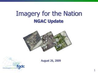
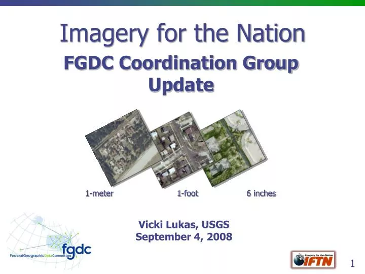
THANK YOU Discussion / Questions? 1-meter 1-foot 6 inches