Download
1 / 8
80 likes | 165 Views
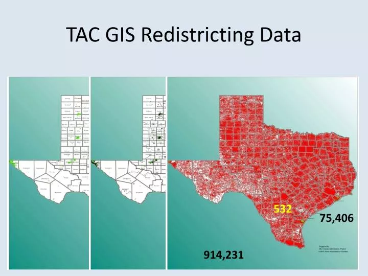
TAC GIS Redistricting Data. 532. 75,406. 914,231. Included Demographic Data. TotalPop Total Population WhiteNonHi White Non-Hispanic AmerIndian American Indian

E N D
TAC GIS Redistricting Data 532 75,406 914,231
Included Demographic Data • TotalPop Total Population • WhiteNonHi White Non-Hispanic • AmerIndian American Indian • AsianAlone Asian Alone • BlackAlone Black Alone • HawaiianNo Hawaiian • SomeOtherR Some Other Race • TwoOrMoreR Two or more Races • Hispanic Hispanic • VotingAgeP Voting Age Population • WhiteNon_1 White Non Hispanic Voting Age • AmerIndi_1 American Indian Voting Age • AsianAlo_1 Asian Alone Voting Age • BlackAlo_1 Black Alone Voting Age • Hawaiian_1 Hawaiian Voting Age • SomeOthe_1 Some Other Race Voting Age • TwoOrMor_1 Two or more Races Voting Age • HispanicVo Hispanic Voting Age
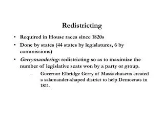
San Jacinto County Redistricting Project • Is there a need to redistrict? • Hadn’t Redistricted Since 1981
San Jacinto County Redistricting Project Adjusted Boundaries Submitted Nov. 8, 2011 Adjusted Boundaries Submitted Sept. 8, 2011 2010 CENSUS w/ 2008 Precinct Boundaries
San Jacinto County Redistricting Project • Since They Hadn’t Redistricted Since 1981
County Information Project (CIP)Texas Association of Counties • Tim Brown, CIP Manager, Senior Analyst • Paul Emerson, State Fiscal Analyst • Bruce Barr, County Analyst - GIS, Emergency and Floodplain Management http://ww.txcip.org/tac/census/CountyProfiles.php http://texcounty.net/