Download
1 / 20
200 likes | 346 Views
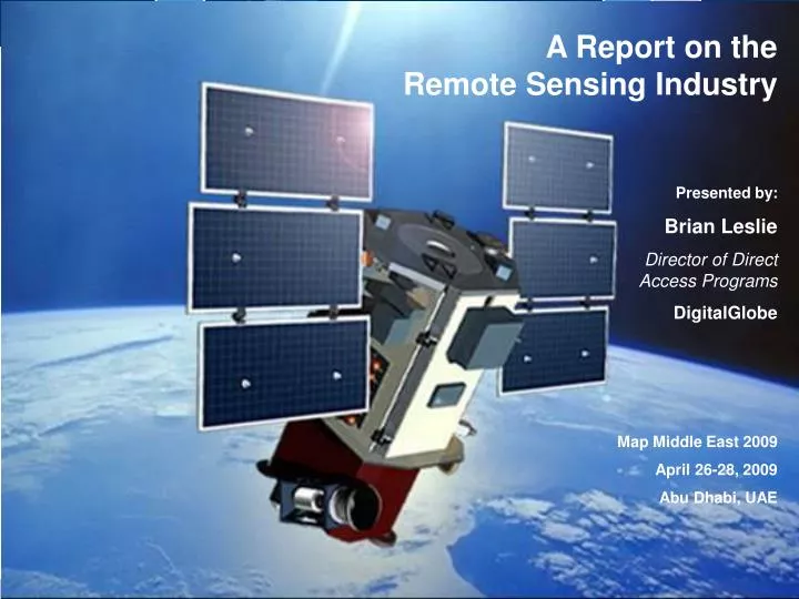
A Report on the Remote Sensing Industry Presented by: Brian Leslie Director of Direct Access Programs DigitalGlobe Map Middle East 2009 April 26-28, 2009 Abu Dhabi, UAE. Introduction. Remote sensing decades old – scientific and military domains

E N D
A Report on the Remote Sensing Industry Presented by: Brian Leslie Director of Direct Access Programs DigitalGlobe Map Middle East 2009 April 26-28, 2009 Abu Dhabi, UAE
Introduction • Remote sensing decades old – scientific and military domains • Very High Resolution commercial space-based remote sensing approaching 10th anniversary • Past decade, witnessed strong growth and technical advancements • Despite today’s global economy, industry is very active and healthy • Given event theme of Geospatial@Work, fitting to address how imagery sector has been very hard at work
Today’s presentation • Key trends and developments • Growth drivers • Current and future systems • Challenges ahead • DigitalGlobe perspective • Outlook
Total Satellites: 151 Total Satellites: 69 Total Country/Agency Participation: 29 Total Country/Agency Participation: 21 Satellite launches Source: World Satellite-Based Earth Observation Market Prospect to 2017, Euroconsult, March 2008
$4.7 Imagery CAGR 9.1% Source: Remote Sensing Technologies and Global Markets, BCC Research, February 2007 Value-added products (incl imagery) CAGR 11.9% Source: The Remote Sensing Market Soars in 2008, Joan Lurie and Ed Jurkevics, Laser Focus World, August 2008 $3.2 $3.0 $2.3 Global imagery market size
Key trends and developments • Significant rise in number of imaging satellites • Vast majority will be medium resolution (~2.5m GSD), funded by governments • New government participants • Newly established government space programs – Nigeria, Malaysia, Thailand, Turkey, Taiwan, Indonesia, and others • Increasing commercial activity • TerraSAR-X (and Tandem-X) and RapidEye – Europe’s first commercial systems; RapidEye constellation specifically designed to serve global agriculture markets • 4C Controls – Gulf Earth Observation Center in Abu Dhabi consisting of four SAR satellites, reception and distribution facility (COSMO-SkyMed), and space academy; plans for optical satellites have been announced • Continued commercialization of government data – ANTRIX (ISRO-India), MDA (CSA-Canada), Spot Image (KARI-Korea and JAXA-Japan) • Pleiades to be dual use system; Spot Image reports that 95% capacity will be dedicated to commercial markets
Key trends and developments • Era of constellations • RapidEye (5), GeoEye (2), DigitalGlobe (3 in Q3/09), COSMO-SkyMed (4), SAR-Lupe (5), DMC (5), and others • Industry continues to drive toward greater resolution • Constellations addressing need for coverage and revisit time • Consumer markets driving growth • “Virtual Globes” - imagery available to the masses via Internet • Strong consumer demand plus “open” technologies (e.g. APIs, web services, etc.) enabling new products and services • Tremendous commercial appeal – imagery becoming a necessary component in definition of online maps • Surge in radar satellites since 2006 • TerraSAR-X, COSMOS-SkyMed, SAR-Lupe, Radarsat-2, TecSAR – total of 11 operational satellites
Growth drivers • Key markets and applications • Defense, intelligence, and security • Environment, climate change, and natural resource management • Consumer markets such as online mapping portals and navigation • Economics • Economics 101 – Volume from high-end systems (e.g. DigitalGlobe and GeoEye), plus less sophisticated platforms and micro-satellites are driving down satellite costs • Increased funding – Private investment (RapidEye), Public Private Partnerships (TerraSAR-X), and dual-use programs (Cosmo-SkyMed) • Ease of access – Access is no longer limited to professional users • Growing professional user base – The community of professional users is growing as software and training proliferates, and integration into GIS is simplified
Optical, ~2.5m resolution Red = Sub-meter resolution Primary operational systems *Additional satellites in 2.5m Pan resolution range to be launched by UAE, Egypt, Malaysia, Nigeria, Vietnam, and other countries.
Eros B1 Beijing-1 Eros A1 Ikonos-2 QuickBird Spot 5 Formosat-2 Kompsat-3 ALOS WorldView-2 Cartosat-2 WorldView-1 Theos RazakSatAlsat-2B GeoEye-1 DMC Nigeriasat Pleiades-1 Pleiades-2 Cartosat-1, TopSat Resurs DK-1, Kompsat-2 Advancements in resolution (optical) Resolution Launch Year
Future sub-meter resolution systems • DigitalGlobe • WorldView-2, launch 2009, .46 m resolution, 8-band • Turkey (MoD) • Gokturk, launch TBD, .8 m resolution • France (CNES) • Pleiades-1 and 2, launch 2010 and 2011, .7 m resolution, 4-band, dual use • Korea (KARI) • Kompsat-3, launch 2011, .7m resolution • Japan (JAXA) • Optical 5, launch ~2014, .4m resolution
Future challenges • Data management • RapidEye – 100 million km² in first 56 days of operations; total constellation capacity of 4 million km²/day • DigitalGlobe – With WorldView-2, collection capacity of nearly 2 million km²/day • GeoEye – Roughly 1 million km²/day • Data provisioning • Quick, easy online access and distribution of data • Multi-sensor data fusion • Seamless fusion of low, medium, and high resolution optical data • But also fusion of optical, radar, LiDAR, IfSAR, hyperspectral, thermal infrared • Data sharing, licensing, and distribution • Countries acquiring capabilities don’t necessarily have policies in place • Potential threat to commercial activities, as well as national security
DigitalGlobe Perspective • WorldView-2 • Will again set a new industry standard • Target Sept/Oct 2009 launch • 100% financed by company and investors – no government funds
DigitalGlobe Perspective • First commercial 8-band satellite – WorldView-2 • Improved change detection, camouflage detection, surveillance, marine and coastal imaging • Greater spectral analysis • Industry-first products • True color 4-band 8-band
DigitalGlobe Perspective • World’s most advanced commercial imaging constellation • Three sub-meter class satellites • Nearly 2 million km²/day collection capacity • Intraday revisit time • Industry leading accuracy and agility • Direct Access solutions • Greater collection capacity to give customers private access
DigitalGlobe Perspective • Greatest commercial collection capacity available
DigitalGlobe Perspective • Web services are critical • ImageLibrary • 660 million km² • Growing today @ ~1 million km²/day • Online solutions • Fast, easy online access to satellite and aerial imagery • Tools for integrating imagery into online applications and mobile devices • GIS-ready products delivered online
Outlook • Drive toward greater resolution will continue. • Native accuracy will be key area of future innovation. • Time from collection to customer delivery will be reduced. • Demand for Direct Access solutions will increase. • Value-added products – on larger scale – will get more traction. • Advanced online solutions will drive commercial growth.
Thank you Brian Leslie, Director of Direct Access ProgramsDigitalGlobebleslie@digitalglobe.comDirect 303.684.4391