Download
1 / 5
50 likes | 145 Views
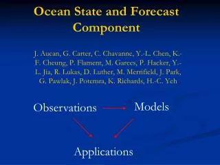
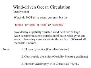
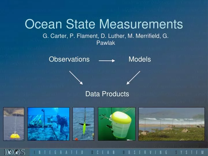
Ocean State Measurements. Observations. Models. G. Carter, P. Flament , D. Luther, M. Merrifield, G. Pawlak. Data Products. Ocean State: Kilo Nalu Observatory. Observational array : Nodes at 10, 20 m Moored profilers (30 m , 65 m ) Spatial sampling: REMUS AUV surveys

E N D
Ocean State Measurements Observations Models G. Carter, P. Flament, D. Luther, M. Merrifield, G. Pawlak Data Products
Ocean State: Kilo Nalu Observatory • Observational array: • Nodes at 10, 20 m • Moored profilers (30 m, 65 m) • Spatial sampling: REMUS AUV surveys • Real-time/archived data, products: • Wave height, direction, period • Water properties (T, S, turbidity) • Nearshore currents (10, 20 m) • Near-bed velocities (surge) • 24-hr particle tracks KN website ~8000 hits per month, >1000/day during south swells • Input/validation for local wave, current, water level modeling
Ocean State: Wave Buoys • Observational array: • Waverider buoys off Lanai, Waimea Bay, Mokapu, and soon off Barbers Point. • Buoys possible through partnerships with USACE and CDIP (Scripps) • Real-time/archived data: • Wave height, direction, period • Conditions surround harbor entrances • Input/validation for local wave, current, water level modeling • Input to prediction of high-water level events (flooding, inundation)
Ocean State: Harbor Measurements • Observational array: • Water level station in Kalaeloa Harbor and Kaumalapau • Current meter in Kalaeloa Harbor Channel • Waverider offshore Barbers Point and Kaumalapau • Real-time/archived data: • Offshore wave height, direction, period • Conditions within and near harbor (currents, swell, surge) • Input/validation for local wave, current, water level modeling • Input for prediction of high-water level events (flooding, inundation) • Real-time reporting of harbor conditions at Kaumalapau and Barbers Point (under development)
Ocean State: Gliders and Moored Profilers • Observational array: • 2 McLane moored profiling arrays (1 pre-deployment prep, 1 pre-deployment planning) • 1 iRobotSeaGlider (250 days of data collection thus far) • Real-time/archived data: • Currents, CTD, turbidity with profiler • Currents, CTD at subsurface mooring • CTD at mooring anchor • CTD, DO, chlorophyll, location along multiple lines around Oahu • Input/validation for numerical models Profiler Glider