Download
1 / 8
80 likes | 285 Views
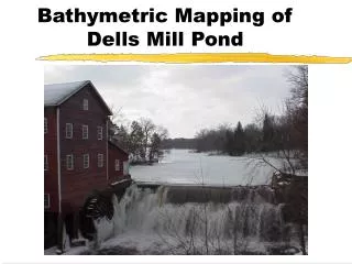
BATHYMETRIC. SURVEYING. What is it?. Bathymetric Surveying is the Contouring and Modeling of Lake and River Bottoms . Old Method:. Manual grid Physical measurement to bottom Point data only acquired Points then processed into model Contouring created from points. New Method:.

E N D
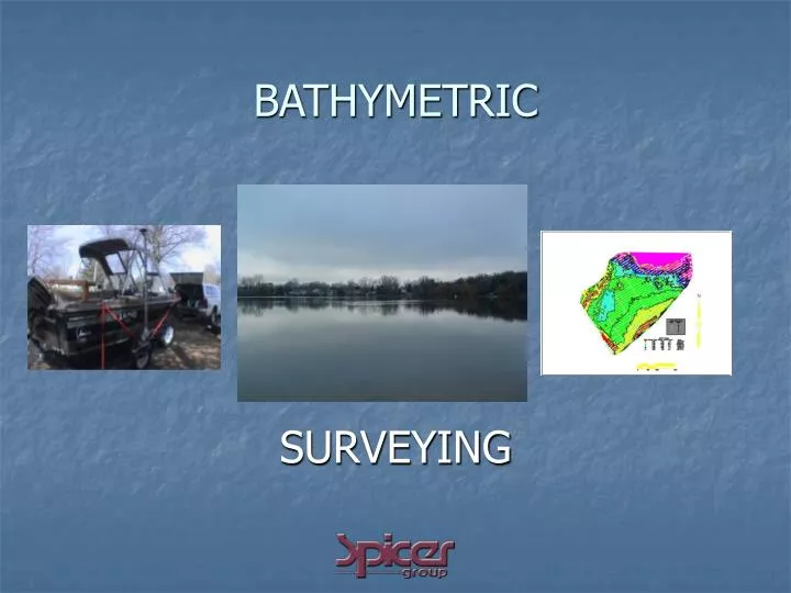
BATHYMETRIC SURVEYING
What is it? • Bathymetric Surveying is the Contouring and Modeling of Lake and River Bottoms
Old Method: • Manual grid • Physical measurement to bottom • Point data only acquired • Points then processed into model • Contouring created from points
New Method: • Dual-Frequency Scanner linked to GPS • Models lake bottom with integrated positional data to simultaneously record scanned and positional data
New Method Continued: • Dual-Frequency allows simultaneous hard surface and silt-bottom modeling
Results: • Multi-layered model • Reliable silt quantities • Integrated GPS • Reliable positional data • Direct model integration
Conclusions: • More Efficient • Cost Effective • Classification of Lake Bottoms • Provides Sediment Depth Information • Higher Quality Data