Download
1 / 1
10 likes | 19 Views
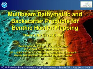
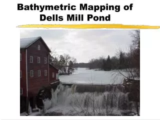
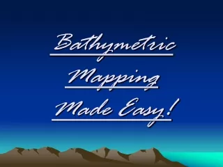
Bathymetric Lidar is a powerful technology used to map and measure underwater terrain with exceptional accuracy and detail.

E N D
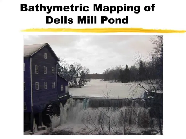
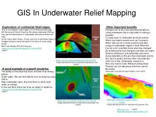
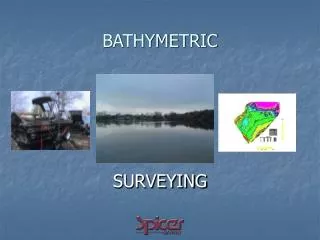
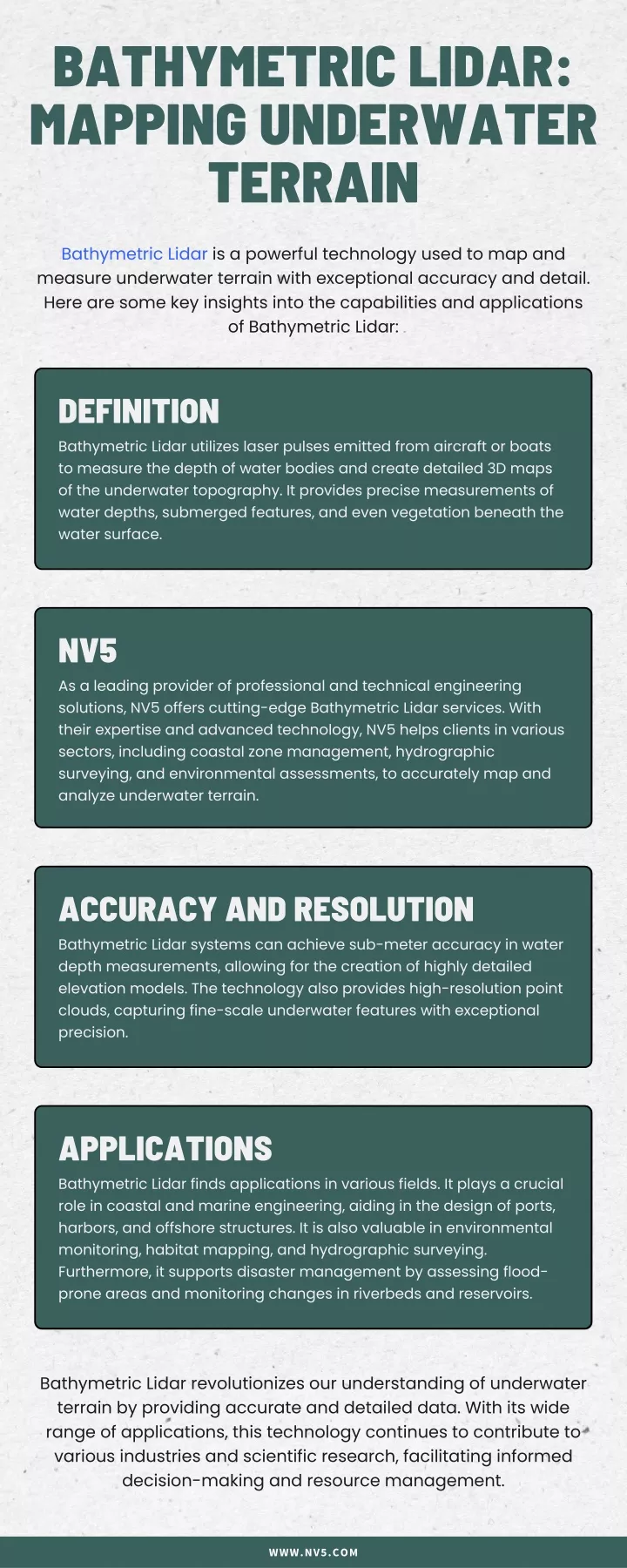
BATHYMETRIC LIDAR: MAPPING UNDERWATER TERRAIN Bathymetric Lidar is a powerful technology used to map and measure underwater terrain with exceptional accuracy and detail. Here are some key insights into the capabilities and applications of Bathymetric Lidar: DEFINITION Bathymetric Lidar utilizes laser pulses emitted from aircraft or boats to measure the depth of water bodies and create detailed 3D maps of the underwater topography. It provides precise measurements of water depths, submerged features, and even vegetation beneath the water surface. NV5 As a leading provider of professional and technical engineering solutions, NV5 offers cutting-edge Bathymetric Lidar services. With their expertise and advanced technology, NV5 helps clients in various sectors, including coastal zone management, hydrographic surveying, and environmental assessments, to accurately map and analyze underwater terrain. ACCURACY AND RESOLUTION Bathymetric Lidar systems can achieve sub-meter accuracy in water depth measurements, allowing for the creation of highly detailed elevation models. The technology also provides high-resolution point clouds, capturing fine-scale underwater features with exceptional precision. APPLICATIONS Bathymetric Lidar finds applications in various fields. It plays a crucial role in coastal and marine engineering, aiding in the design of ports, harbors, and offshore structures. It is also valuable in environmental monitoring, habitat mapping, and hydrographic surveying. Furthermore, it supports disaster management by assessing flood- prone areas and monitoring changes in riverbeds and reservoirs. Bathymetric Lidar revolutionizes our understanding of underwater terrain by providing accurate and detailed data. With its wide range of applications, this technology continues to contribute to various industries and scientific research, facilitating informed decision-making and resource management. WWW.NV5.COM