Download
1 / 8
80 likes | 190 Views
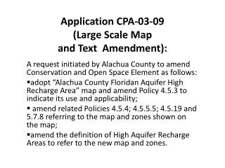
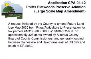
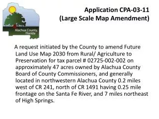
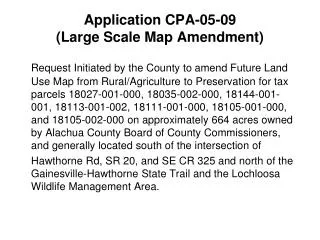
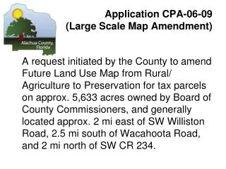
Application CPA-06-11 (Large Scale Map Amendment).

E N D
Application CPA-06-11 (Large Scale Map Amendment) A request initiated by the County toamend Future Land Use Map 2020 from Rural/ Agriculture to Preservation for tax parcels # 02711-6-0; 02707-0-0; and 02711-6-12 on approximately 520 acres owned by Alachua County Board of County Commissioners, and generally located in southwestern Alachua County, between Cities of Archer and Newberry consisting of three separate parcels accessible from Watermelon Pond County Park on SW 250th Street and from SW 119th Avenue, adjacent to Ashton Biodiversity Research and Preservation Institute.
CPA-06-11 Location Map Watermelon Pond Preserve
CPA-06-11 Zoning Watermelon Pond Preserve
Area to be changed to Preservation CPA-06-11 Existing Future Land Use Watermelon Pond Preserve
Area to be changed to Preservation CPA-06-11 Proposed Future Land Use Watermelon Pond Preserve
CPA 06-11 Watermelon Pond Preserve View looking to interior of Watermelon Pond Preserve
CPA 06-11 Watermelon Pond Preserve View at SW119th Ave and SW230 St of one of the three parcels.
Application CPA-06-11 (Large Scale Map Amendment) STAFF RECOMMENDATION: Approve for transmittal to Florida Department of Community Affairs CPA-06-11 to designate publicly owned parcels as Preservation on the Future Land Use Map 2020 for review. Bases: a. The designation of this publicly owned parcel, acquired for use as a natural resource and managed conservation land, would be consistent with COSE Objective 3.2 and related policies and the definition of Preservation Area/Land, i.e. ”intended for use as natural reserves or managed conservation lands for the preservation of natural resources.”