Download

1 / 8
80 likes | 188 Views
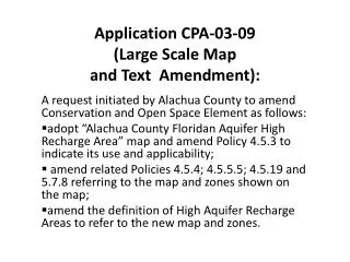
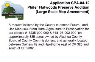
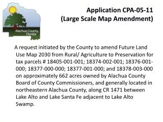
Application CPA-02-11 (Large Scale Map Amendment).

E N D
Application CPA-02-11 (Large Scale Map Amendment) A request initiated by the County toamend Future Land Use Map 2020 from Rural/ Agriculture to Preservation for tax parcel # 02851-000-000 on approximately 36 acres owned by Alachua County Board of County Commissioners, and generally located on SR-236 near intersection of CR 241 adjacent to Mill Creek Preserve, four miles south of Santa Fe River and two miles north of City of Alachua.
CPA-02-11 Location Map Millcreek Addition Request Initiated by the County to amend Future Land Use Map 2020 from Rural/Agriculture to Preservation
CPA-02-11 Zoning Millcreek Preserve Addition
Area to be changed to Preservation CPA-02-11 Existing Future Land Use Millcreek Addition
Area to be changed to Preservation CPA-02-11 Proposed Future Land Use Millcreek Addition
CPA 02-11 Millcreek Preserve Addition View at corner of parcel looking southeast
CPA 02-11 Millcreek Preserve Addition View at northeastern corner of parcel showing Parener’s Branch culvert
Application CPA-02-11 (Large Scale Map Amendment) STAFF RECOMMENDATION: Approve for transmittal to Florida Department of Community Affairs CPA-02-11 to designate publicly owned parcels as Preservation on the Future Land Use Map 2020 for review. Bases: a. The designation of this publicly owned parcel, acquired for use as a natural resource and managed conservation land, would be consistent with COSE Objective 3.2 and related policies and the definition of Preservation Area/Land, i.e. ”intended for use as natural reserves or managed conservation lands for the preservation of natural resources.”