Download
1 / 26
260 likes | 672 Views
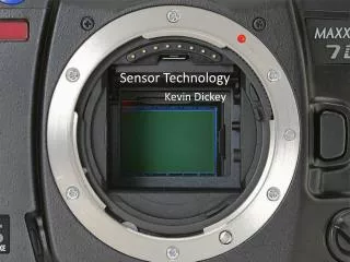
The Considerations of New LiDAR Sensor Technology. IGIC: February, 2010 Presented by: Jamie Young: Director of Operations. 1. Disclaimer. The new LiDAR technology is exceptional The data is better than ever All technology has some hiccups

E N D
The Considerations of New LiDAR Sensor Technology IGIC: February, 2010 Presented by: Jamie Young: Director of Operations 1
Disclaimer • The new LiDAR technology is exceptional • The data is better than ever • All technology has some hiccups • All the issue in this presentation are correctable • Accuracy is awesome!!! • This is why we have support contracts when we can’t fix it • Same make and model are not exactly alike! • I don’t know everything so speak up
LiDAR Sensors • Optech and Leica are detailed but will not be singled out • Optech 3100 • Optech Gemini • ALS 50-II • ALS 50 MPia • Both Optech and Leica have been working on Improved system • There are definite improvements with the technologies
Calibration • Calibration of systems continues to be a difficult • Some systems hold calibration better than others • Stabilized and shock-mounted systems yield smoother data • Intensity seems to cause the biggest issues • Speed of Laser causes pitch errors to be more predominate. • Heading continues not to be an issue • Range correction as a result of intensity continue to plague us. • Most all sensor errors can be fixed in calibration • And they are very complex
Reflectivity • The texture of roofs sometimes affects representation of the building top. • One Building is right on and the next door building is slightly off • Dropouts on tarred roofs • Dropouts on freshly paved roads and freshly tarred parking lots • Make sure that sensors are set correctly • Saturation areas can cause incorrect ranges
Reflectivity - Causes • Incorrect settings • Incorrect flying heights for settings • Intensity tables not correct • Problems with the Hardware? • Present in all system types?
Signs of my intensity table This rarely happened with the old systems But WE have Support!!! It did not affect the range though
New Sensor Technology • When Sensors are working correctly • Much better data • Improved Accuracy • Both horizontally and vertically • More efficient collection • Manufacture’s continue to improve systems • Manufactures Listen to users and work hard to make their systems better • Variability of system help us apply new applications • Cost less to operate • Market demands new technology but can you slow down so we can get the best data from what we have? • Can I have a system that does everything?
Airborne systems This is based on 1000m meters and above Vertical accuracy required usually 9.24 -18 cm Horizontal accuracy required usually 50 cm – 1.0m Before MPia, ALS-60, and GEMINI Vertical accuracy achieved: 5.8 -12 cm Horizontal accuracy achieved: 14 -27 cm After MPia, ALS-60 and GEMINI Vertical accuracy achieved: 3 – 12 cm Horizontal accuracy achieved: 10 – 27 cm Sometimes better than this..!!!!!!!
Baselines – You’re killing me Better technology More satellites We get better results at 40 to 50KM Can we Change this Requirement. Please! It’s more efficient
Products from LiDAR Classified LAS Image from co-registered Camera Line work from LiDAR and intensity Contours from LiDAR Intensity image
Data1.4 meter collection DSM- Digital Surface Model Intensity Image
LiDAR BLOGSubmit any question about LiDAR http://lidarblog.wordpress.com
Graphics provided by Leica Thank you! And Questions!