Download
1 / 30
300 likes | 427 Views
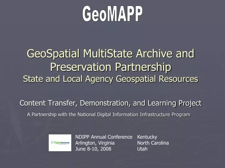
GeoMAPP. GeoSpatial MultiState Archive and Preservation Partnership State and Local Agency Geospatial Resources. Content Transfer, Demonstration, and Learning Project. A Partnership with the National Digital Information Infrastructure Program. NDIPP Annual Conference Arlington, Virginia

E N D
GeoMAPP GeoSpatialMultiState Archive and Preservation Partnership State and Local Agency Geospatial Resources Content Transfer, Demonstration, and Learning Project A Partnership with the National Digital Information Infrastructure Program NDIPP Annual Conference Arlington, Virginia June 8-10, 2008 Kentucky North Carolina Utah
Why Archive Geospatial Data? Legal and regulatory processes Potential role in Continuity of Operations Plans Increase opportunity for temporal analysis Cultural Heritage (Sanborn maps) Significant Public Investments The Added Value of a an Organized Accessible National Collection is Compelling
Geospatial Content • Elevation • Aerial Imagery • Structures • Infrastructure • Place Names • Hazards • Landslide Zones • Flood Insurance • Derived • Impervious • Green • Real Time Gages
Geospatial Content • Geospatial content emerging in many things we do • Initial problem of preserving digital map layers, now also must consider the new problem of preserving the location element of many business processes
Geospatially Enabled and Operational Content Photo Offender Info
Theme Layer Analysis Process Software Business Data Output Record Cartographic Web Services Metadata Geospatial Problem AreaNot About Content Only
Collaborative Geospatial Community Graphic Courtesy of NASCIO and ESRI
NDIIPP “Born Digital” Content Geo Geo Geo Geo Geo Geo
GeoMAPP One of Four MultiState Partnerships • Legislative Records • Publications, Agency and Court Records • Vital Records, Land Ownership, Web- based Reports • Geospatial Content • Twenty-One States
Multi-State Geo-Archival PartnershipDemonstration and Learning
Desired Outcomes • Collect and provide access to important information for Congress, others • Model best practices within a distributed digital preservation network • INTERSTATE and INTRASTATE content movement • Catalyze collaboration among/between state CIOs, librarians, archivists, as well as other partners, stakeholder associations, and industry (ESRI, OGC) • Demonstrate and document concrete, repeatable results • Broad sharing of lessons learned • Provide a focus for stewardship of state and local government digital information within a larger national context
Key Issues / Components • Content Selection (which content is needed) • Inventory of geospatial content • Integrating geospatial content into archival systems (process and frequency) • Managing/tracking content once archived • Flow of content between states • Role of Metadata in the above processes
State Level Preservation Challenges • Capability are resource-limited • Authority is dispersed • Efforts hampered by current funding and staffing models • Digital information not always available; often replaced or removed from the Internet • Digital and print versions not always equivalent
State Partner Profile • Status of State GIS at project outset • Governance and Community • Profile State DB • Profile of activity with Retention/Archives • Status of State Archive • Authority • Status of Digital Archive Program • Profile of activity with GIS office(s) • Focus of Project Activity (Month 0-6) • Near Term Next Steps (Month 6-12)
Commonwealth of Kentucky GIS at the Project Outset • Governance of the KYGEONET: • Commonwealth Office of Technology; Office of Enterprise Policy and Project Management; Division of Geographic Information • Supported by over a dozen “responsible” publishers • KYGEONETSystem: • Centralized ESRI system with internet portalviewer • 487 published items • 250 + layers in KyVector • Over 25 layers published to the National Map via GOS
KDLA and Electronic Records • Kentucky Department for Libraries and Archives(KDLA) electronic records activities • Active in electronic records for 20 years • Archives and records management operation includes electronic records • Electronic Records Working Group and Guidelines • Participation in numerous grant projects • Electronic Records Archives created 2003 • GIS activities with KDLA • Records retention schedule established • Transfer of some selected shape files from 2 periods • KDLA representative on GIS Stewards group
State of Utah ►Governance of the Utah Geospatial Infrastructure • Department of Technology Services / State CIO • Automated Geographic Reference Center • Utah GIS Advisory Committee • Supported by dozens of “responsible” partners ► State Geographic Information Database (SGID): • Centralized shared database (350 data themes) • Internet portalviewer (GIS.UTAH.GOV) • Web Services and applications (MAPSERV.UTAH.GOV)
KDLA and Electronic Records State of Utah ►Utah State Archiveselectronic records activities • Active in electronic records for 10 years • Archives and records management operation includes electronic records • Electronic records business case developed through legislative funding • Ongoing strategic discussions with Utah’s Dept. of Technology Services ►GIS activities with Utah State Archives • Records retention schedules established • Application development done to correlate GIS datasets with finding aids
State of NC Governance of GIS: • Department of Environment and Natural Resources • Geographical Information Coordinating Council • Supported by over 17 State agencies and 90 counties • NC ONEMAPSystem: • ESRI viewer system linked via WMS to decentralized unique data providers • 342 items available via OneMap viewer • 208 layers available via centralized FTP (107 vector, 98 raster) • 478 data layer records inventoried statewide by NC GIS Inventory (Ramona)
NCAR and Electronic Records • NCAR electronic records activities • Active in electronic records for 20 years • Archives and records management operation includes electronic records • Work with Secretary of State and ERC, GICC Preservation and Access Working Group • Publish guidelines • Participate in grant projects • Began accepting electronic records in 2001 • GIS activities with NCAR • Began discussions with NC State and CGIA 2 years ago • NCAR representatives on GICC Preservation and Access Working Group
Project Steps Focus of Project Activity (Month 0-6) • Project planning • Meeting with the other state partners • Learning about GIS system and Archive process • Identifying and inventorying specific datasets for inclusion in Archives’ holdings • Developing process and architecture for preservation • Compare identified archival layers with UT & NC • Match layers with agencies’ retention schedules • Purchase larger data store • Transfer of content within and between states
Engage Community • National GIS Inventory • NSDI, NGAC, FGDC • Governance Community • Survey Instruments • Archives and Long Term Access Committee
Geo Archives Surveys • 4 Targeted Communities: • NC County and Municipal GIS contacts • NC State Agency geospatial data creators • NSGIC • CoSA/ NAGARA • Common themes across surveys • Focus on “at risk” geospatial data layers
Early Survey Results State Agency 58 responses from 6 departments 50% are archiving geospatial data Awareness of archives/ business drivers • Local Government • 61% of counties and 64% of towns responded • 69% are archiving geospatial data • Business drivers
Additional Engagement • NSGIC • NAGARA • COSA • NASCIO • Intra State Communities (like Anne’s Committee • Industry (OGC, ESRI, Reference WG)