Download
1 / 16
160 likes | 409 Views
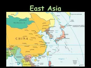
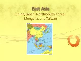
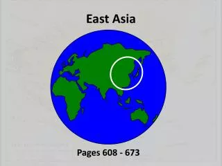
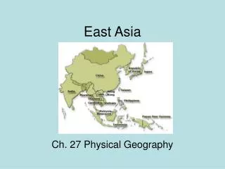
East Asia. Ch. 27 Physical Geography. Mountains. Kunlun Mtns-west China, source of Yellow and Yangtze Rivers Qinling Shandi Mtns-divide northern part of China from the South. Desert. The Gobi-stretches from NW China into Mongolia, larger than Texas and California put together

E N D
East Asia Ch. 27 Physical Geography
Mountains • Kunlun Mtns-west China, source of Yellow and Yangtze Rivers • Qinling Shandi Mtns-divide northern part of China from the South
Desert • The Gobi-stretches from NW China into Mongolia, larger than Texas and California put together • Cold desert, not uncommon to see frost and snow on dunes
Rivers • Huang He (Yellow) • north China, starts in Kunlun Mtns in west • Flows east 3000 miles to Yellow Sea
Chang Jiang (Yangtze) • Longest river in Asia • Chang Jiang means “long river” • Flows east from Tibetan Plateau to the East China Sea
Xi Jiang (West River) • Flows east through Southern China to the South China Sea
Climate • Wide variety • desert, semiarid, highland, humid subtropical, humid continental • Climate determined by physical geography, settlement determined by climate
The Three Gorges Dam • Being built on the Chang Jiang (Yangtze) • Compare to Aswan High Dam • Will help control flooding
The dam will generate more electricity than any other dam in the world. • Will allow ships to travel farther into China • Won’t be fully operational until 2011
Negative Effects • Millions will have to move • Historical and scenic sites will be submerged • The dam will cost more than first estimated • Reduces animal habitats • Covers hundreds of sq. miles of land