Download
1 / 10
100 likes | 117 Views
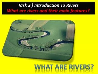
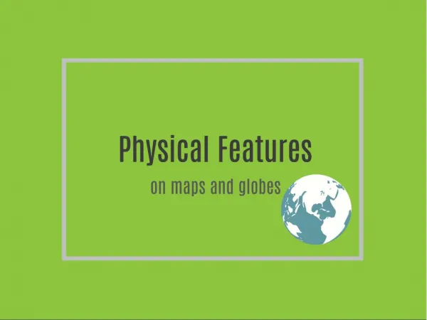
Create a map of Zanzibar to scale showcasing key human and physical features like towns, rivers, coral reefs, and land relief. Learn the essential elements all maps need. Make sure to include a key, frame, scale line, compass point, and map symbols. Use colors and print all words horizontally. Step-by-step process includes outlining the map, adding human features, physical features such as rivers and coral reefs, and showcasing land relief information.

E N D
Task To draw a map of Zanzibar to scale and add its main human and physical features.
What do all maps need ? Title Key Frame Scale line Compass point Map symbols Colour All writing must be: Printed Horizontal In italics if a river or ocean
A map of Zanzibar to show its main human and physical features 5cm 7cm
Key Human features Physical features Main town River Minor town Coral reefs Main road Land height between 100-125m Airport Land height under 100m Islands You must print all letters in a horizontal line!!!!
Step 1 – Outline of map and scale line 0 5 10 (miles)
Step 2 Adding human features to the map Nungwi Pennisula Banda Kuu Mahonda Stone Town Zanzibar Airport Paje Chumbe Island
Step 3 - Adding physical features to the map - Rivers Nungwi Pennisula Banda Kuu Mahonda Stone Town Zanzibar Airport Paje Chumbe Island
Step 4 Adding physical features to the map – Coral reef Indian Ocean
Step 5 Adding physical features to the map – Relief (Relief = The height and shape of the land)