Download
1 / 41
410 likes | 431 Views
Research study on using web maps to improve global cognitive maps for geography students. Explore anchor-point theory, sketch maps, and cognitive map construction. Preliminary results and future work outlined.

E N D
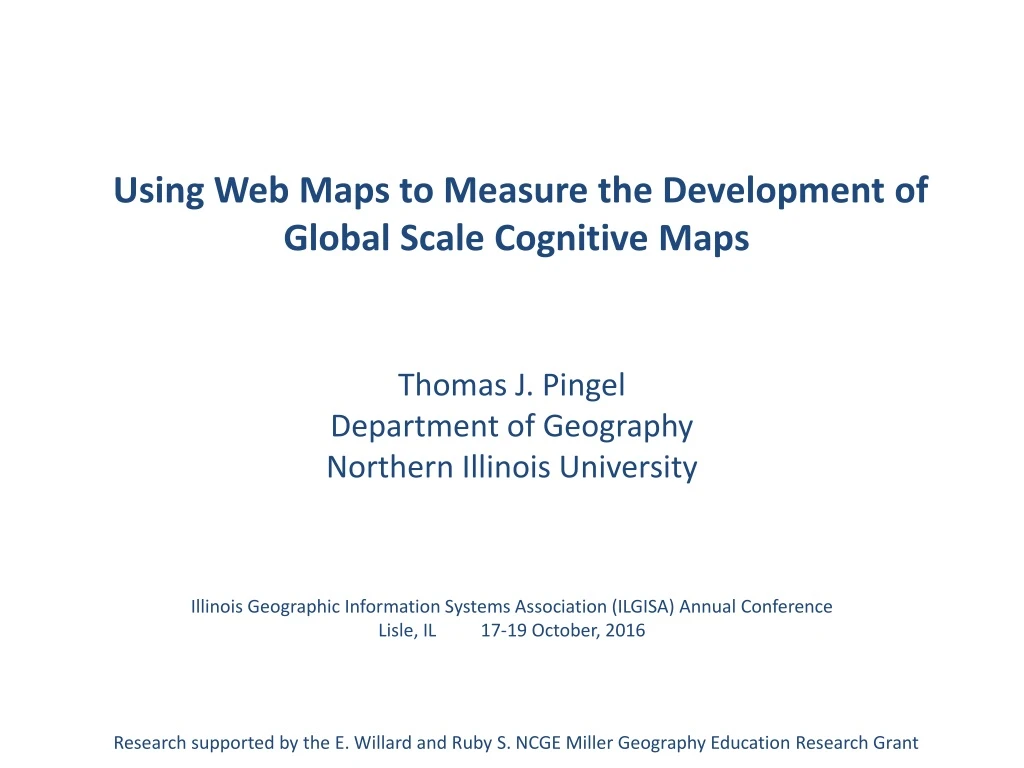
Using Web Maps to Measure the Development of Global Scale Cognitive Maps Thomas J. Pingel Department of Geography Northern Illinois University Illinois Geographic Information Systems Association (ILGISA) Annual Conference Lisle, IL 17-19 October, 2016 Research supported by the E. Willard and Ruby S. NCGE Miller Geography Education Research Grant
Outline • Objectives and justification for study • A quick introduction to anchor-point theory • The study • Construction of the interface and database • Data collection and processing • Preliminary results • Future work
Objectives • As a world regional geography instructor, I want to help students develop better, more complete global scale cognitive maps. • As a cognitive scientist, I want to better understand how these large-extent, geographic scale cognitive maps are constructed. • As a Geographic Information Scientist, I want to apply (2) to (1).
Research Questions • How can we use web maps to help track how students are assembling a cognitive map of the world? • Are the data consistent with the anchor-point theory of cognitive map development?
Place learning is the anatomy of geography. First level of an online, place-learning game by Sheppard Software. (http://www.sheppardsoftware.com/)
Sketch Map Analysis (1) Saarinen and MacCabe (1995) collected 3,568 sketch maps from university students at 75 sites in 52 countries. These were examined for quality, and ranked 1 (poor) to 5 (excellent) according to the inclusion of continents and countries. Sketch maps correlate very well with other, more inclusive metrics of geographic literacy. Country and Continent Place Name Knowledge by Continent (from Saarinen and MacCabe, 1995)
Sketch Map Analysis (2) In a study of sketch maps, Pinheiro (1998) found geopolitical power (measured by GDP, etc.) to be a significant predictor of inclusion. But proximity, % coastline, and cultural factors also played a role. Sketch maps at right from Pinheiro (1998), drawn by Brazilian students.
Graphical representation of the anchor-point theory of spatial cognition. Figure from Golledge, 2002.
Recreation and visualization with Gephi network analysis and visualization software. http://gephi.github.io/
Anchor points rate highly on measures of network centrality. • Betweenness centrality measures how often a node appears on shortest paths between nodes in the network. • Closeness centrality measures the average distance from a given starting node to all other nodes in the network.
Identifying anchor points • Multidimensional measures of familiarity (Couclelis et al. 1987; Gale et al. 1990) • Recognizing the sight or name of a spatial cue • Knowing where it is (spatial location) • Frequency of interaction. • On a local level, interaction might be supported by travel log or GPS track analysis. Space-time visualization from Kraak (2003)
Student Map Assessment • Students are asked to place labels of countries on a map with only political boundaries drawn. • Not multiple choice or matching • Because most web maps use a Mercator projection, the Mercator projection was used to ensure visual matching. • Quizzes overlap with previous material
Quizzes 1-4 1 2 3 4
Many fine online map study aids are available, but I wanted more control over the way in which the data was assimilated.
I first constructed a simple flash-card style interface using Google Fusion tables for this purpose.I used anchor point theory (Golledge 1984, Couclelis et al. 1987) as a guide.First, students filled in a global “skeleton” before we moved on to more traditional regional quizzes.
I use the G-20 countries as a starting point. Other countries may be more familiar for other reasons but these provide a reasonably common frame of reference. http://www.bbc.co.uk/worldservice/news/2009/12/091203_g20_emissions.shtml
Pretest Knowledge (%, n = 48) Pretask knowledge assessment indicated that some countries are known nearly perfectly (USA, MEX, CAN) while others are much less well known (KOR, TUR, IDN).
As an aside, the horror stories you hear about students not being able to place the United States on the map did not hold true for my class, and knowledge of Canada, US, Mexico is near 100%.Still, a few global scale cognitive maps contain very large errors.
In order to measure interactions, the interface was coded in a custom JavaScript / Leaflet–based map.
Despite concerns, Battersby and Montello (2009) found scant evidence for a “Mercator Effect” in the mental maps of students. A rendering of the (Gall) Peters projection, an equal-area projection often advocated as a preferred alternative to the Mercator projection.
Randomly generated IDs were used to track users, and clicks and timestamps were recorded to a PHP database.
Participants • Data collected “in the wild” • 200 students enrolled in World Regional Geography • Demographic data was not collected • Relatively typical undergraduate sample • 499 unique IDs • Use of multiple devices was common
Processing • User name combined with timestamp to assign a unique session identifier • 15 minute break between clicks • Clicks not on quiz were removed from the session • 2% of clicks • Repeat clicks were removed • e.g., Afghanistan -> Afghanistan • 4.8% of clicks • Final dataset • 4 quizzes • 1,638 unique sessions • 75,536 clicks
Network visualization and statistics are a powerful tool towards understanding multidimensional datasets of many kinds. In my dataset, each click (country to country) formed a link, or edge. The more it was clicked, the stronger the connection between two countries. http://www.npr.org/2016/04/16/474396452/how-math-determines-the-game-of-thrones-protagonist
The Risk board game network, sized according to PageRank, the metric of node importance famously used by Google to rank web pages.
Spatial distribution of pretest knowledge and clicks on Quiz 1.
Clicking was negatively correlated with pretest knowledge. r = -.20
Undirected graph representation of aggregate Quiz 1 data.Diameter of nodes is proportional to accuracy. Edge thickness is proportional to number of clicks.Position is determined by force directed layout algorithm.Groups are determined by modularity community detection algorithm.
“Everything is related to everything else, but near things are more related than distant things.”Spatial knowledge, measured in this way is regionalized. But is it hierarchical?
Quiz 4* *Bahrain, Cypress, Kuwait, Malta, Palestine, Qatar removed Aggregate correlation between clicks and accuracy, r = -0.51
Most measures of centrality and node importance are negatively correlated with accuracy.
Conclusions • Web map derived click-paths represent the development of global scale cognitive maps • Network visualization tools aid in their interpretation • Unlike physical anchor-points, network anchor-points are negatively related to both interaction (clicks) and network centrality. • Strictly hierarchical models fail to capture the rich connections between nodes
Future Work • What other network measures could be derived to better capture anchor-points? • Anchor nodes can be visualized, but current network indices are insufficient. • Need to explore local-global interaction measures. • Individual analysis of cognitive map development • Aggregate analysis likely washes out interesting and important individual differences • Formal experiments out of the classroom • Ability to assess performance gains • Release the dataset • The rich data needs more attention than I can give it • Eventually, development of Automated Tutor • Best ways to present, regionalize, and reinforce material • Support for individual differences / strategies