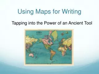
Using Maps
Using Maps. Distance Scales. What is a distance scale?. A distance scale shows you how far one location is from another. A distance scales shows you the distance in both miles and kilometers. Finding the distance scale on a map.

Using Maps
E N D
Presentation Transcript
Using Maps Distance Scales
What is a distance scale? • A distance scale shows you how far one location is from another. • A distance scales shows you the distance in both miles and kilometers
Using the distance scale can tell you how far the center of Texas is from the Atlantic Ocean. 3 4 1 6 5 2
Using the distance scale can tell you how far the center of Texas is from the Atlantic Ocean. 3 4 1 6 5 2 Each line is 200 miles and it takes 6 lines to get from the center of Texas to the Atlantic Ocean. That means the distance from Texas to the AtlanticOcean is about 1200 miles.
How many miles would you drive from Oklahoma to South Carolina. 5 3 4 1 2 It is about 900 miles from Oklahoma to South Carolina.
How far is it from Baton Rouge to Lafayette? The correct answer is about 50 miles.
How far is it from Lake Charles to Shreveport? The correct answer is about 150 miles.