Download
1 / 6
60 likes | 299 Views
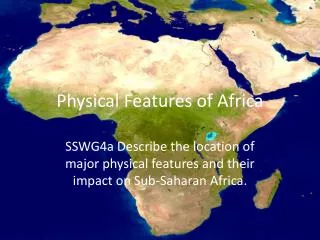
The Key Physical Features of Georgia. Georgia Studies 8 th Grade Mr. Wilson. The Fall Line. A boundary about 20 miles wide that separates Georgia’s Piedmont region from the Coastal Plain. Thousands of years ago land south of the Fall Line was covered by ocean.

E N D
The Key Physical Features of Georgia Georgia Studies 8th Grade Mr. Wilson
The Fall Line • A boundary about 20 miles wide that separates Georgia’s Piedmont region from the Coastal Plain. • Thousands of years ago land south of the Fall Line was covered by ocean. • Many cities developed along the Fall Line including Columbus, Macon, and Augusta.
Georgia’s Coast Georgia’s coast is not long. It is a region that consists of swamps, rivers and streams, estuaries, small islands, and a chain of large coastal islands that face the ocean. Estuaries- areas at the mouth of a river where fresh and salt water mix
Barrier Islands Barrier islands are a chain of sea islands that form a barrier or wall between the mainland of Georgia and the Atlantic Ocean. Georgia has several including… • Tybee Island • Cumberland Island • Jekyll Island
Okefenokee Swamp • The Okefenokee Swamp in Ware County, Georgia is the largest swamp in North America. • Okefenokee is an Indian word meaning “trembling ground”
Georgia’s Rivers • Georgia has 20,000 miles of rivers and streams • Rivers once determined Georgia’s boundaries and affected its settlements. • Georgia rivers flow mainly north to south. • Savannah, Chattahoochee, Flint