Download
1 / 12
120 likes | 310 Views
LiDAR on the CDA Reservation Overview. James Twoteeth GIS Analyst. -Light Detection and Ranging. CDA Tribe Lidar Acquisition. Horizons Inc. out of South Dakota flew our lidar acquisition in February of 2005. Raw Lidar data 537 sq. miles 2.5 x 2.5 km tiles (257 tiles)

E N D
LiDAR on the CDA Reservation Overview James Twoteeth GIS Analyst
CDA Tribe Lidar Acquisition Horizons Inc. out of South Dakota flew our lidar acquisition in February of 2005. Raw Lidar data 537 sq. miles 2.5 x 2.5 km tiles (257 tiles) 8-10 million points per tile We are currently processing the raw Lidar data in house using tools that were developed by the Rocky Mountain Service Station in Moscow, Idaho which helped us to reduce the cost by about 50 %. Roughly $ 74,900 for raw lidar data for the CDA Tribe Reservation
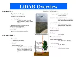
2004 Color Ortho-Photo Hillshade created from DTM made from Lidar, Including vegetation. Hillshade created from DTM made from Lidar, excluding vegetation.(Bare earth hillshade)
Lidar intensity values (measure of return signal strength) Hillshade overlaid with vegetation heights Hillshade created from Digital Terrain Model made from Lidar, overlaid with Color Ortho Photo
Three-Dimensional view of project area using LiDAR as elevational model and then overlaid tat with color digital orthophoto using ArcGlobe.
Next Steps for CDA Tribe Lidar • Get initial lidar processed to produce a bare earth, • DTM, Heights, and Intensity layers for reservation. • Connect with technical people (Eric, Jennifer) to • further research how to derive forest characteristics • from lidar to tie back to plot information like CFI, Firemon.