Download

1 / 4
50 likes | 155 Views
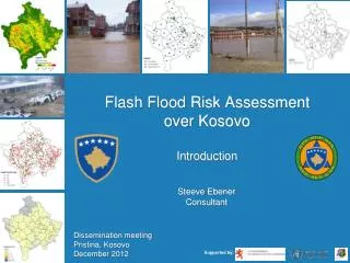
Flash Flood Risk Assessment over Kosovo Introduction. Steeve Ebener Consultant. Dissemination meeting Pristina, Kosovo December 2012. Supported by:. The Vulnerability and Risk Analysis & Mapping program (VRAM). Objectives.

E N D
Flash Flood Risk Assessment over KosovoIntroduction Steeve Ebener Consultant Dissemination meeting Pristina, Kosovo December 2012 Supported by:
The Vulnerability and Risk Analysis & Mapping program (VRAM) Objectives • Support Ministries of Health (MOH) and partners to strengthen their capacity to assess, visualize and analyze health vulnerabilities and risks and incorporate the results of this analysis in disaster risk reduction, emergency preparedness and response plans • Compile and homogenize baseline data, information and maps to help health authorities and partners to take informed decisions in times of crises Country level “Pre-Disaster activity”
The VRAM in Kosovo Objectives • Conduct a geographically based flash flood risk assessment over the all country considering population and the front line responders as the elements at risk • Strengthen the technical capacity of the country to perform this type of analysis • Serve as a practical demonstration on how better information management, and the use of GIS, can improve emergency preparedness and response.
The VRAM in Kosovo 1st Workshop Today’s meeting and next steps Cycle