
Afghanistan
E N D
Presentation Transcript
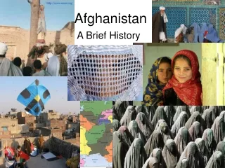
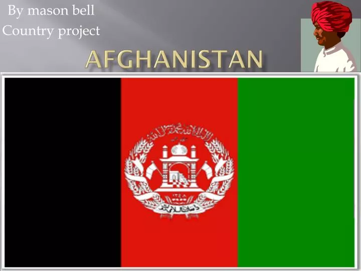
Afghanistan By mason bell Country project
Religion and goverment • Major religion: Islam • Government: Unitary presidential republic
Where it is + longitude and latitude • Near the equator northern hemisphere • On the Eurasian plate • Latitude & longitude: 34.53, 69.13 • By the Indian ocean
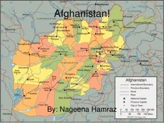
Capitol and population + languages • The capital of Afghanistan is Kabul • Languages: Pashto, Farsi, eastern language • The population was 35 320 445 in 2011
Square kms • Afghanistan is 652,230.0 square kilometers
landscape Lots of rivers and mountains few plains More than 50% of the landscape is above 6 500 feet (2 000m)
climate • Afghanistan's climate has a cold, snowy winter and hot, dry summer. Extreme temperature changes occur from night to day, season to season, and place to place.
education • education began at seven years of age, continued for eight years and was free at staterun schools. Secondary education was available at age 15 and lasted four years. girls over the age of 8 were forbidden from going to school.
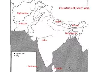
Other countries around afghanistan • It shares its borders with Pakistan to the southeast, Iran to west, Turkmenistan, Uzbekistan, and Tajikistan to the north, and China to the northeast
Natural hazards Earthquakes are common Floods are rare Landslides are common too
Afghanistan currency photos The currency is called Afghani. It is divided into 100 smaller units called pul. Just like our cents
Bibliography Education= Wikipedia Other countries around Afghanistan =Wikipedia Currency photos= Google images Other photos= Microsoft clip art