GIS Day
GIS Day. Geography Matters ™ !. Introductions. Richard Helfst Lake Co. Board of County Commissioners Ben Garcia Lake County Water Authority Will Davis Lake County Schools. Where’s Waldo?. What Is Geography?.


GIS Day
E N D
Presentation Transcript
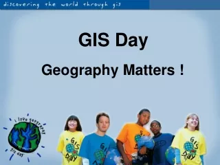
GIS Day Geography Matters™!
Introductions Richard Helfst Lake Co. Board of County Commissioners Ben Garcia Lake County Water Authority Will Davis Lake County Schools
What Is Geography? Geography is a science that enables us to find answers to questions about the world around us. Geography helps us to locate where things are and how or why they are there.
What is GIS? GIS is an abbreviation for geographic information systems which is a set of tools that captures, stores, analyzes, manages, and presents data that are linked to locations. In the simplest terms, GIS is the merging of cartography, statistical analysis, and database technologies to develop better solutions and make better decisions.
What Are the Parts of a GIS? • Hardware computers, printers, servers • Software programs, applications • Data information, tables, spreadsheets, databases • Methods how to ask questions • People
Reality GIS Integrates All the Parts…to See the Whole Picture! Students Future Development Streets & Transportation School Attendance Zones Cities, Zoning & Land Use Aerial Photography
Jobs Where People Use GIS • Computer Science • Electric/Gas Utilities • Business/Marketing • Telecommunications • Transportation Logistics • Petroleum & Mining • Engineering • Water & Wastewater • Health Care • Federal Government • Economics • Environmental Mgmt. • Local Government • School Districts • Geology • Military/Intelligence • Archeology • Sociology • Community Planning • Real Estate & Cadastral • Site Location • Agriculture • Forestry • Public Safety • Risk Management • Aerial Photography
Movie on Geospatial Technology from Penn State University (Geospatial Revolution Project)
Type in www.arcgis.com on your browser; click Start ArcGIS Explorer Online at the bottom right
Your first Map Customize your map: Change Base-map Add data Add Bookmarks Find Places Save Your Map Add Data, Change base-map, Save map Search for Places, Add bookmarks
Measure, Query, Draw features, Create Presentations Customize Your Map (continued) You can: Measure Distance Measure area Query Draw on the Map Create a Map Build a Presentation Pan/Zoom Tool, Coordinates
Customize Map (continued) You can add data from contributors all over the world, or data you create.
Web sites of interest GIS Day Information http://www.gisday.com What is GIS? http://www.gis.com Student Help Resources http//lake.k12.fl.us/gisstudent ArcGIS Online http://www.arcgis.com