Download
1 / 9
90 likes | 147 Views
Explore the importance of geography and GIS, empowering answers to spatial questions. Learn about GIS components and its applications in various industries like business, transportation, and healthcare. Discover how GIS enhances decision-making and provides solutions in sectors ranging from utilities to environmental management.

E N D
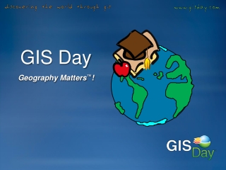
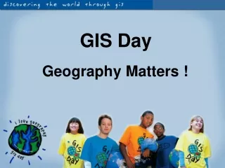
GIS Day Geography Matters !
What Is Geography? • Geography is a science that enables us to find answers to questions about the world around us—about where things are and how and why they got there
What Is GIS? • GIS is an abbreviation for geographic information system, which is • computer software that maps and analyzes geographic data
Reality GIS Integrates All the Parts…to See the Whole! Homes School Districts Streets Zip Codes Cities Counties
What Are the Components of a GIS? • Hardware • Software • Data • Methods • People
What Can a GIS Do for You? • Perform Geographic Queries and Analysis • Maps, Modeling, and Analysis • Make Better Decisions and Create Better Solutions
Electric/Gas Utilities Business/Marketing Telecommunications Transportation Logistics Petroleum & Mining Pipeline Water & Wastewater Health Care Federal Government National Agencies Environmental Mgmt. Local Government What Are Some Industries Using GIS Solutions • Public Sector • Retail • Military/Intelligence • CAD • Mapping • Land Use Planning • Real Estate & Cadastral • Site Location • Agriculture • Forestry • Land Use Planning • Risk Management