Updating Statistical maps
Updating Statistical maps . with GPS. G lobal P ositioning S ystem. Space segment. Control segment. Users Segment. Space segment. GPS Satellites Name: NAVSTAR Manufacturer: Rockwell International Altitude: 10,900 nautical miles Weight: 1900 lbs (in orbit)


Updating Statistical maps
E N D
Presentation Transcript
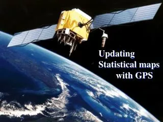
Updating Statistical maps with GPS
Global Positioning System Space segment Control segment Users Segment
Space segment GPS Satellites Name: NAVSTAR Manufacturer: Rockwell International Altitude: 10,900 nautical miles Weight: 1900 lbs (in orbit) Size:17 ft with solar panels extended Orbital Period: 12 hours Orbital Plane: 55 degrees to equatorial plane Planned Lifespan: 7.5 years Current constellation: 24 Block II production satellites Future satellites: 21 Block IIrs developed by Martin Marietta
Errors: Atmospheric error Clock & Orbit Error Multi path Error S.A. (Selective Availability) A.S. (Anti Spoofing) DOP(Dilution Of Precision)
Positioning Methods: Static method Kinematic method Stop & Go method
Updating Statistical maps with GPS 1- Rural Maps (Scale 1:50000) 2-Urban Maps (scale 1:2000)
Rural Maps: مرغداري حيدري
Problems: in the urbanareas the high buildings and trees were caused cycle slip and slowness the work.