
SpatialSTEM: Future Directions in Map Analysis
E N D
Presentation Transcript
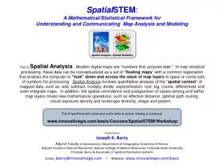
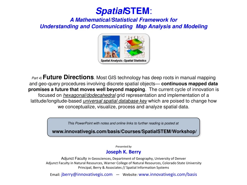
SpatialSTEM: A Mathematical/Statistical Framework for Understanding and Communicating Map Analysis and Modeling Part 4) Future Directions. Most GIS technology has deep roots in manual mapping and geo-query procedures involving discrete spatial objects— continuous mapped data promises a future that moves well beyond mapping. The current cycle of innovation is focused on hexagonal/dodecahedral grid representation and implementation of a latitude/longitude-based universal spatial database key which are poised to change how we conceptualize, visualize, process and analyze spatial data. Part 4) Future Directions. Most GIS technology has deep roots in manual mapping and geo-query procedures involving discrete spatial objects— continuous mapped data promises a future that moves well beyond mapping. The current cycle of innovation is focused on hexagonal/dodecahedral grid representation and implementation of a latitude/longitude-based universal spatial database key which are poised to change how we conceptualize, visualize, process and analyze spatial data. This PowerPoint with notes and online links to further reading is posted at www.innovativegis.com/basis/Courses/SpatialSTEM/Workshop/ Presented byJoseph K. Berry Adjunct Faculty in Geosciences, Department of Geography, University of Denver Adjunct Faculty in Natural Resources, Warner College of Natural Resources, Colorado State UniversityPrincipal, Berry & Associates // Spatial Information Systems Email: jberry@innovativegis.com— Website: www.innovativegis.com/basis
Grid-based Data Organization(Numerical Context) : Other Layers Map Stack of Grid Map Layers A Grid Map Layer consists of a matrix of numbers with a value indicating the characteristic or condition at each grid cell location– forming a geo-registeredMap Stack. Roads (Line Feature) Modern digital maps are organized sets of numbers first(data)… Lodgepole Pine (Polygon Feature) Pine Layer draped over 3D Elevation Surface Analysis Frame Spatial AnalysisandStatisticsuse “map-ematical” operations to analyze mapped data for a better understand of geographic patterns and relationships. …pictures later(graphics). Aerial Photo (Raster Image) Elevation (Surface Gradient) (Berry)
Grid-based Map Data (geo-registered matrix of map values) 2.50 Latitude/Longitude Grid (140mi grid cell size) 90 Analysis Frame (grid “cells”) 300 Coordinate of first grid cell is 900 N 00 E #Rows= 73 #Columns= 144 Conceptual Spreadsheet(73 x 144) The Latitude/Longitude grid forms a continuous surface for geographic referencing where eachgrid cell represents a given portion of the earth’ surface. Lat/Lon …each 2.50grid cell is about 140mi x 140mi 18,735mi2 …but maximum Lat/Lon decimal degree resolution is a four-inch square anywhere in the world The easiest way to conceptualize a grid map is as an Excel spreadsheet with each cell in the table corresponding to a Lat/Lon grid space (location) and each value in a cell representing the characteristic or condition (information) of a mapped variable occurring at that location. …from Lat/Lon “crosshairs to grid cells” that contain map valuesindicating characteristics or conditions at each location All spatial topology is inherent in the grid. (Berry)
Grid-based Map Data (Lat/Lon as the Universal Spatial dB Key) Spatially Keyed data in the cloud …Spatially Keyeddata in the cloud are downloaded and configured to the Analysis Frame defining the Map Stack Lat/Lon serves as a Universal dB Key for joining data tables based on location “moving Lat/Lon from crosshairs to grid cells” Conceptual Organization RDBMS Organization Spreadsheet 30m Elevation (99 columns x 99 rows) “Where” Wyoming’s Bighorn Mts. Database Keystone Concept Each of the conceptual grid map spreadsheets (matrices) can be converted to interlaced RDBMS formatwith a long string of numbers forming the data field (map layer) and the records (values) identifying the information at each of the individual grid cell locations. Geographic Space Grid Space 2D Matrix 1D Field Database Table Lat/Lon as a Universal Spatial Key Elevation Surface Once a set of mapped data is stamped with its Lat/Lon “Spatial Key,” it can be linked to any other database table with spatially tagged records without the explicit storage of a fully expanded grid layer— all of the spatial relationships are implicit in the relative Lat/Lon positioning. Data Space Each column (field) represents a single map layer with the values in the rows indicating the characteristic or condition at each grid cell location (record) “What” (Berry)
A Peek at the Bleeding Edge (2010s and beyond) Revisit Analytics (20s - Beyond) Multimedia Mapping/GeoWeb (2000s – 10s) Revisit Geo-reference (10s – 20s) GIS Modeling(90s – 00s) Mapping focus Data/Structure focus Analysis focus Future Directions Contemporary GIS Spatial dB Mgt(80s – 90s) The Early Years Computer Mapping (1970s – 80s) (See Beyond Mapping III, “Topic 27”, GIS Evolution and Future Trends, www.innovativegis.com/basis) (Berry)
Alternative Geographic Referencing Tightly Clustered Groupings Continuous Nested Grid Elements Hexagonal Grid (6 facets) Dodecahedral Grid (12 facets) Consistent distances and adjacency to surrounding grid elements Hexagon Dodecahedral Inconsistent distances and adjacency to surrounding grid elements (Orthogonal and Diagonal) Square Grid (8 facets) Cubic Grid (26 facets) Cartesian Coordinate System Cube Square Square Cube 2D Grid Element (Planimetric) 3D Grid Element (Volumetric) (Berry)
Overview of Map Analysis Approaches Map Analysis and Modeling Spatial Analysis — 1)recodingof all operations to take advantage of increased precision/accuracy in the new geo-referencing and data structures; 2) incorporate dynamic influenceson effective movement/connectivity (e.g., direction, accumulation, momentum); and 3) uncertainty and error propagationhanding for all analytical processing. …emphasis onData Accuracy (correct WHAT characterization) vs. Precision(proper WHERE placement) Spatial Statistics — 1) uncertainty and error propagationhanding for all analytical processing; 2) localized expressionof most statistical metrics will be employed; and 3) CART, Induction and Neural Networks techniques requiring large N will replace traditional multivariate data analysis Data Structure Advances in Data Storage and Geo-referencing will lead to revision of existing analytical operations and spawn new ones that will radically change our paradigm of what maps are and how they are utilized– moving well beyond traditional mapping and geo-query. (Berry)
Building Predictive Models (map regression) Prefer Gentle Slopes, Near Roads, Near Water, Views of Water and Westerly Aspect …but can’t be Too Closeto water or Too Steep Model Criteria(rows in the flowchart) Gentle Slopes Near Roads Near Water Viewsof Water Westerly Aspect Not too close to water Not too steep (Berry)
1 2 3 4 1) Base maps 2) Derived maps 6 3) Interpreted maps 4) Combined / Modeled map 5) Constraint maps 5 6) Final map Building Predictive Models (map regression) Prefer Gentle Slopes, Near Roads, Near Water, Views of Water and Westerly Aspect …but can’t be Too Closeto water or Too Steep Weight Algorithm Calibrate x x Best Green Worst Red Constrained Black (Berry)
Building Predictive Models (map regression) A sequencing of map analysis commands are applied to implement model logic— using a command script (Tutor25_Campground.scr) Solution set of maps are created by evaluating the model logic for the unique pattern of conditions at each geographic location …grid cell
Derive(Algorithm) Gentle slopes Near roads Near water Good views Westerly Interpret(Calibrate) Combine (Weight) Mask (Constraints) Suitability Modeling(Evaluating Hugag Habitat) …the map analysis logic ingrained in the flowchart is translated into a logical series of map analysis commands MapCalc Learner Tutor25_Campground Script (Berry)
Simultaneously Trivializing and Complicating GIS Systems Applications General Programmers GIS Developers System Managers Data Providers GIS Specialists General Users Public Users 1970s – a few hundred innovators establishing the foundation of geotechnology (Automated Cartography) …a deep keel of knowledge in Science and Technology 1980s– several thousand pacesetters applying the technology to a small set of disciplines (RS, GIS) 1990s – hundreds of thousands GIS specialists and general users (RS, GIS, GPS) 2000s – millions of general and public users (RS, GIS, GPS, GeoWeb) …minimal S&T knowledge 2010s – billions of general and public users (RS, GIS, GPS, GW, Devices) (Berry)
Where are we headed? The STEM community will revolutionize how we conceptualize, utilize and visualizespatial relationships… …but will GIS education and professionals lead or follow? 1) Solutions to complex spatial problems need to engage “domain expertise” through GIS– outreach to other disciplines to establish spatial reasoning skills needed for effective solutions that integrate a multitude of disciplinary and general public perspectives.. 2) Grid-based map analysis and modeling involving Spatial Analysisand Spatial Statisticsare in large part simply spatial extensions of traditional mathematical and statisticalconcepts and procedures. 3) The recognition by the GIS communitythatquantitative analysis of maps is a realityand the recognition by the STEM communitythatspatial relationships exist and are quantifiableshould be the glue that binds the two perspectives– a common coherent and comprehensive SpatialSTEM approach. The Bottom Line “…map analysis quantitative analysis of mapped data” — not your grandfather’s map …nor his math/stat THANK YOUfor your kind attention– any final thoughts or questions? (Berry)