Download
1 / 51
510 likes | 635 Views
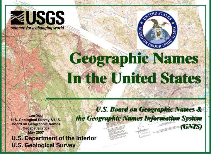
Geographic Names In the United States. U.S. Board on Geographic Names & the Geographic Names Information System (GNIS). Lou Yost U.S. Geological Survey & U.S. Board on Geographic Names Geospatial 2007 May 2007. U.S. Department of the Interior U.S. Geological Survey.

E N D
Geographic Names In the United States U.S. Board on Geographic Names & the Geographic Names Information System (GNIS) Lou Yost U.S. Geological Survey & U.S. Board on Geographic Names Geospatial 2007 May 2007 U.S. Department of the Interior U.S. Geological Survey
Names – A Key Component of Geographic Knowledge Webster Groves, MO-IL 7.5-minute topographic map
Numerous scientific and exploration expeditions conducted by the Federal government
Resulted in confusion, lack of communication, and conflicting maps & documents
The Solution – U.S. Board on Geographic Names • Provides for uniformity in geographic nomenclature and orthographythroughout the Federal government • Formulates principles, policies, and proceduresfor domestic and foreign geographic names • Promulgates in the name of the Board: • Decisions with respect to geographic names and locations • Principles of geographic nomenclature and orthography
U.S. Board on Geographic Names Policies • Commemorative Names • Wilderness Areas • Derogatory Names • Genitive Case
U.S. Board on Geographic Names • No Federal Agency May CHANGE or ADD Unilaterally Any Name on Any Product For Any Reason Without BGN Approval – by Policy or Procedure • An Agency May Choose to Leave the Name Off a Map or Out of a Publication
Standardization not Regulation Why Standardize Feature Names and Locations? • Homeland Security/Homeland Defense • Civil Support • Emergency Preparedness & Response • Regional & Local Planning • Site Selection & Analysis • Cartographic Application • Environmental Problem-solving • Tourism • All Levels of Communication The implications of incorrect, inaccurate, or contradictory feature data appearing simultaneously from multiple sources are, if anything, more serious today.
USBGNGNIS • In 1987, the U.S. Board on Geographic Names Designated the Geographic Names Information System (GNIS) as the Only Official Vehicle For Geographic Names Use By the Federal Government • Therefore, Federal Law Prescribes That GNIS Be Used As the Only Source for Applying Geographic Names to Federal Maps & Other Products
Geographic Names Information System • Official Federal source for feature names and locations • Base theme of The National Map • Authoritative A16 database for geographic names • Conforms to Board principles, policies, guidelines • 30 Years of Data from authoritative sources • Stable, mature geographic information system • Full national coverage, consistent, seamless • Quality assured, prevents duplication • Open, interoperable, available, web services • Functioning partner base – Federal, State, Local, Tribal • Large user community of long standing
Two Million – And Growing Fast • 502,000 hydrographic features – Synchronized with NHD • 395,000 cultural features – • Cemetery, Dam, Locale, Mine, Military (historical), Oilfield, Tower, Trail, Well • 376,000 structural features • Airport, Building, Church, Hospital, School, Post Office • 257,000 landforms – In no other layer of The National Map • 170,000 populated places • 100,000 admin features • Civil, Forest, Park, Reserve • 97,000 historical features – In no other layer • 14,000 transportation point features • Bridge, Crossing, Tunnel • (14,000 Antarctica features) Thousands added per month. If its not in GNIS, it should be.
GNIS Phase I & IA • Named features on the most current, large scale Federal maps and charts • USGS topographic maps • Forest Service base maps & visitor maps • National Ocean Service charts • National Park Service maps
GNIS Phase II • Available information from official State and local sources, other approved sources, and historical maps and documents • Includes ALL content categories except roads and highways
Electronic Maintenance Program Since 1987 • U.S. Board on Geographic Names • U.S. Geological Survey • U.S. Forest Service (1997) • Office of Coast Survey (1997) • National Hydrography Data Set (NHD) Partners • Synchronized 1997 • National Park Service (1999) • Bureau of Land Management (2005) • Fish & Wildlife Service (soon) • General Services Agency (MOU in for signature)
Feature Class – Defined Functionally No Official Feature Classification Schemas
Compilation Methodology • Three types of data at the base map scale (1:24,000)
Compilation Methodology • Point – almost always in one county (could be in two if on the boundary of two counties) and on one topographic map • Record only a set of primary coordinates • Examples – small reservoir (tank), falls, rapids, channel, spring, canal, or dam
Compilation Methodology • Linear – may be in one or more counties and on one or more topographic maps Examples – stream, valley, arroyo • Record a set of primary coordinates for the mouth of the feature, which is where it enters another body of water or opens into another feature • Record secondary sets of coordinates for each occurrence of the feature on a different topo map in order upstream
Compilation Methodology • Linear (continued) • Record a set of coordinates for the source in a separate field (HEADS) • IT IS THE RESPONSIBILITY OF THE COMPILER TO DETERMINE THE ABSOLUTE SOURCE -at the beginning of the longest, straightest drain
Compilation Methodology • Area – may be in one or more counties and on one or more topographic maps • Record a set of primary coordinates at the approximate center of the feature – it is the responsibility of the compiler to determine the approximate center • Examples - lake, bay, swamp, harbor,
Compilation Methodology • Area (continued) • Exception to recording the primary coordinates at the center of an areal feature is: • Reservoir – record the primary coordinates at the dam
Compilation Methodology • Area (continued) • Record one set of secondary coordinates for each occurrence on a different topographic map • IT IS THE RESPONSIBILITY OF THE COMPILER TO DETERMINE THE EXTENT OF THE FEATURE
Feature Points 1 = Primary Point> 1 = Secondary PointsOne per quad 7.5° 7 PointAt 24/25k 6 7.5° 1 (85% Features) Source 5 8 7 6 4 3 2 1 2 Linear Areal 5 1 3 4 Mouth Approximate center
Accessing Feature Data • Feature data available through GNIS: • Public web query site (http://geonames.usgs.gov/pls/gnispublic/) • File Download Services (http://geonames.usgs.gov/domestic/download_data.htm) • Web map, feature and XML services • Customized files on request • Collaborative efforts on common application interfaces • Other mechanisms in the future The Geographic Names Information System contains other non-standard attributes—feature classification, secondary points, feature State(s) and county(ies), history, description, designations
Geographic Names Information System MAINTENANCE WEBSITE http://geonames.usgs.gov/pls/htmldb/f?p=gnis Add Edit
Geographic Names Information System MAINTENANCE WEBSITE For Access Contact Joan Helmrich 703-648-4622 jhelmrich@usgs.gov
The End Thank you for your attendance. Questions?


