Download
1 / 17
180 likes | 273 Views
Explore coastal processes and human interactions, including landform changes caused by storm events and sea level rise. Learn about tropical cyclones, storm surges, and factors contributing to coastal hazards amid climate variability. Discover the dynamic convergence of continental and oceanic processes shaping our coastal areas.

E N D
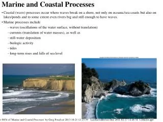
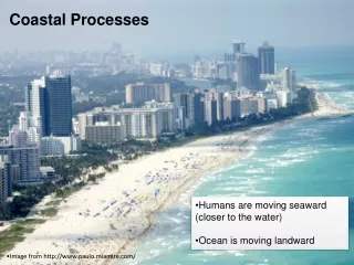
Coastal Processes Humans are moving seaward (closer to the water) Ocean is moving landward Image from http://www.paulo.miamire.com/
Landform changes caused by storm events LIDAR surveys - Dauphine Island, Gulf Coast of Alabama
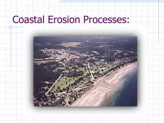
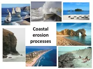
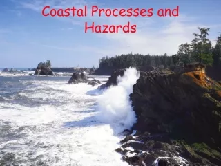
Coastal Hazards • Coastal areas • Variable topography, climate, and vegetation • Dynamic area • Convergence of continental and oceanic processes • Often populous (75% of US lives in coastal zone) • Types of Hazards • Tidal floods • Tropical cyclones • Tsunamis • Coastal erosion
“Long term” water level change Sea Level Rise From IPCC AR4 (2007), Physical Science Section, Chp. 5 Contributing factors: Melting of Earth’s ice volume Reconfiguration of Tectonic Plates Thermal Expansion of Seawater
Daily water level change Tides
Storm Surge Episodic water level change
Coastal Hazards • Tropical cyclones • Originate near equator between 8˚N & 15˚S • Typhoon (Pacific) and hurricane (Western Hemisphere) • Effects • High winds (> 75 mph or 120 km/hr) • Flooding – causes most life loss & damage • Storm surge • Heavy rains • Tornadoes • Results • Deaths declining with improved warnings • Property damage- $10 billion from Andrew • Problems • Increasing coastal population • Poor evacuation routes • Inadequate building codes/enforcement
Wind Speed Distribution 160 km >100 km/hr over a region ~160 km in diameter >60 km/hr over a region ~640 km in diameter 640 km
Hurricane Strike Probability Map • Frequency • About 5 per year • Greatest risk • Florida • Texas • Three common tracks • On-shore • Gulf of Mexico • East Coast skimmers
2005 Tropical Storms Storm tracks generally fall into three categories: 1) Atlantic U-turns 2) Gulf coast strikers 3) East coast skirters http://www.nasa.gov/mpg/126449main_katrina_fred_animation.mpg
1999 Tropical Storms – Large Waves Data from Cape Canaveral Buoy and Model Results