Download
1 / 34
340 likes | 448 Views
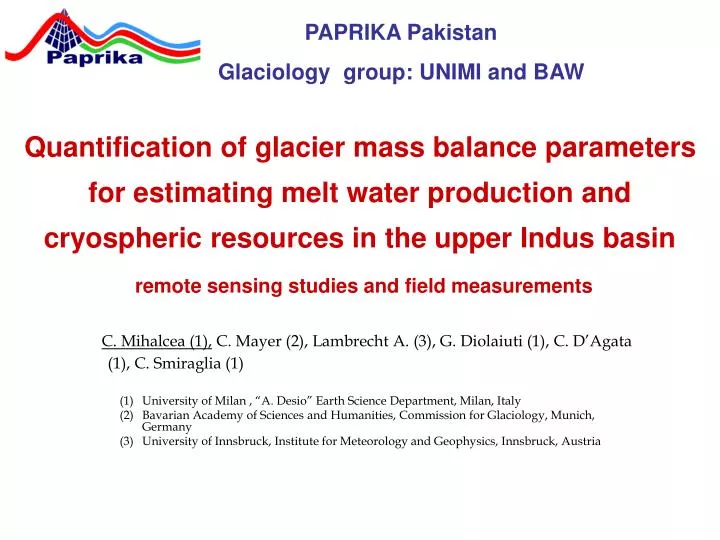
Quantification of glacier mass balance parameters for estimating melt water production and cryospheric resources in the upper Indus basin remote sensing studies and field measurements. C. Mihalcea (1), C. Mayer (2), Lambrecht A. (3), G. Diolaiuti (1), C. D’Agata (1), C. Smiraglia (1)

E N D
Quantification of glacier mass balance parameters for estimating melt water production and cryospheric resources in the upper Indus basinremote sensing studies and field measurements C. Mihalcea (1), C. Mayer (2), Lambrecht A. (3), G. Diolaiuti (1), C. D’Agata (1), C. Smiraglia (1) University of Milan , “A. Desio” Earth Science Department, Milan, Italy Bavarian Academy of Sciences and Humanities, Commission for Glaciology, Munich, Germany University of Innsbruck, Institute for Meteorology and Geophysics, Innsbruck, Austria PAPRIKAPakistan Glaciology group: UNIMI and BAW
Glaciological contributions to the Paprika project Main goals to contribute to the common research: • Updating the Pakistan Glacier Inventory (ICIMOD data base) for describing glacier coverage, pattern and features in the Central Karakoram National Park • Estimation of snow accumulation distribution and variability through field measurements (snow depth, density and isotopic composition) and remote sensing investigations (snow coverage, persistence and duration) • Quantification of snow and ice ablation through field measurements (ablation stakes) and data modelling (evaluation of glacier energy budget on debris-free and debris-covered areas) • Mapping of glacier debris cover for quantification of sub-debris melt contribution
Glaciological contributions to the Paprika project Applied methods Field investigations in selected sample areas • snow pits, snow sampling, ablation stakes, measurements of debris thickness and features (lithology, porosity and grain size, resistivity), collecting supra-glacial meteorological data and energy fluxes Analysis of remote sensing products (ASTER, LANDSAT and MODIS) and GIS processing: • Compilation of the glacier inventory (using several sources to update and correct the ICIMOD data base, e.g. satellite images and cartography if any) • Describing temporal snow cover changes (from MODIS) to calculate local and regional depletion curves • Mapping glacier surface temperatures over time for detecting supra-glacial lakes, ice cliffs, crevassed areas and debris coverage (from ASTER) • Mapping supra-glacial debris coverage and estimating debris thickness (from ASTER) • Extrapolating results from field measurements on a drainage basin scale by using gradients and parameterizations
Some photos of our previous data collection in the Baltoro area: measuring supraglacial debris cover characteristics and properties
Some photos of our previous data collection in the Baltoro area: describing glacier surface features and processes
Some photos of our previous data collection in the Baltoro area: performing continuous DGPS (fast kinematic techniques) profiles for elevation profiles
Some photos of our previous data collection in the Baltoro area: Ice ablation directly measured and glacier velocities evaluated by DGPS monitoring of the ablation stakes
Some photos of our previous data collection in the Baltoro area: Evaluating buried ice ablation under different conditions and comparing with ablation rate of bare ice
Some results based on earlier observations: air temperature lapse rate between Urdukas and base camp AWSs (Mihalcea et al., 2006)
Some results based on earlier observations: Incoming short wave radiation, surface temperature and air temperature at the Baltoro surface (11 cm debris thickness, 4162.1 m a.s.l.) (see Mihalcea et al., 2006)
Some results based on earlier field measurements: terminus of Liligo Glacier by photo comparison and laser scanning surveys (see Mayer et al., 2006)
Remote sensing processing for glacier velocities: Landsat Image of Baltoro Glacier
Remote sensing processing for glacier velocities: Landsat Image of Baltoro Glacier
Example of remote sensing information: ASTER of Baltoro Glacier, VNIR false-colour image: 14 August 2004, 5:46 GMT + 5h
Results: Surface temperature map from ASTER (14 August 2004, 5:46 GMT) of Baltoro Glacier (Mihalcea et al., 2008)
Results: Debris thickness map of Baltoro Glacier derived from ASTER (Mihalcea et al., 2008)
Results: Ablation map (1-15 July 2004, values in m) of Baltoro Glacier (Mihalcea et al., 2008)
Results: calculated vs measured ablation of Baltoro Glacier (Mihalcea et al., 2008)
Some results we obtained through data processing: glacier coverage within the Bagrot valley based on Landsat ETM+ data (Mayer et al., 2010) Hinarche Glacier, Bagrot Valley 36° 5’ N 74° 35’ E Study site
The glaciological research during the first year of the Paprika project:Establishing an ablation stake network and collecting snow accumulation data • Assessing snow accumulation on a selected, representative area: the Baltoro Glacier, accumulation basins • a) snow cover pattern, persistence and duration mapping over time based on remote sensing investigations (MODIS imagine analysis); calculate local depletion curves • b) snow thickness, density and isotopic features will be derived from snow pits and snow sampling performed in the field in late spring early summer 2011 • c) establishing a GIS for integrating field data and remote sensing imagery for spatial and temporal analysis • To provide the base for ablation measurements on a selected representative area: the Baltoro Glacier tongue • An ablation stake network will be installed for acquiring ablation rate data on debris covered and debris free ice zones
The glaciological research in year one of the Paprika project:the collection of snow accumulation data The main points to be discussed are:a) the selection of sample areas, chosen on the basis of access, representativeness, areal dimensions, fit into the general expedition planningb) sampling program for the field work: number of snow pits, drilling activities, shallow radar measurements, snow sampling techniquesc) data products, methods and required software for the remote sensing analysis and the integration of field data d) cooperation and exchange with the other research groups, in particular with the hydrology group and the modeling group
Glaciological research in the first project year: collection of snow accumulation data - a) chosing sample aresa where to concentrate our field work • field investigations for mapping and analyzing snow accumulation and distribution within the Baltoro basin, important input also for the hydrology group. • Extension to the whole basin by remote sensing investigations.
Baltoro Basin features: • Elevation range: 3370 m – 8611 m a.s.l. • Surface coverage: 1500 km2drainage area: 524 km2 glacier area • 372 km2 ablation area
Glaciological research in the first project year: collection of snow accumulation data - a) selecting field work areas, Probably the Eastern part of the Baltoro basin will be of highest priority due to the easier access.Snow pits for evaluating snow thickness and properties (snow water equivalent at different elevations and different basins) Sampling snow for isotopic analysis (to be performed in Germany), the basis for identification of snow fall events over time
Field analysis of snow coverage and properties on the Eastern sector of the Baltoro Basin
snow pits to evaluate snow thickness and properties (SWE or snow water equivalent at different elevations)
Snow sampling for isotopic analysis (to be performed in Germany) to describe snow fall events over time
We also will consider snow avalanches which contribute to snow accumulation. • Then on the field we will map areas where avalanches develop in order to describe their occurrence and role in snow supplying (we will perform the field investigations in late spring/early summer 2011)
Glaciological research during the first project year:the collection of snow accumulation data c) data products, methods and required software for the remote sensing analysis and the integration of field data • Satellite images useful to describe snow coverage over time and to calculate the local (at the glacier scale) and regional (at the basin scale) depletion curves. In particular we will collect and process the MODIS imagines. • In addition we also will process and analyze meteorological data for describing snow precipitation pattern over the whole studied basin. For this last point we need a strong and close cooperation with the Pakistan Meteorological Service.
Snow cover mapped on Modis data from November 2010 for the eastern Karakoram 500m overview Pan-sharpened 250m result Analysis of MODIS image
Glaciological research in the first project year:the collection of snow accumulation data c) data products, methods and required software for the remote sensing analysis and the integration of field data • Meteo data sources: • Pakistan Meteorological Department • SHARE stations in Pakistan : Askole, Urdukas AWSs • Collaboration with Prof Winiger from Bonn University who lead an international project in Pakistan (Bagrot Valley) measuring snow fall and precipitations at high elevation for long periods (several years) with automatic instruments. We could benefit from his data for modeling snow coverage at high elevation.
Glaciological research in the first project year:the collection of snow accumulation data d) cooperation and exchange with the other research groups, in particular with the hydrology group and the modeling group • A strong cooperation with the hydrology group is welcome to optimize the overlaps between our researches • The Glaciology group is confident that the data will be useful not only to describe and model the water availability in the upper Indus basin but also in all the Northern Pakistan Area (NPA). Main limitation: the availability of meteorological data; otherwise snow coverage (the first year) and ice and snow ablation (the 2nd and the 3rd) could be modelled over this large area. • Glaciological data could be used to validate the regional model (developed by Giorgi's research group?)
Next research steps: • meeting of the glaciology group by the first half of January in Milan possibly with the Hydrology Group participation.- to collect all the available meteorological data- to collect all the available satellite images