Download

1 / 27
270 likes | 419 Views
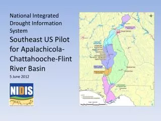
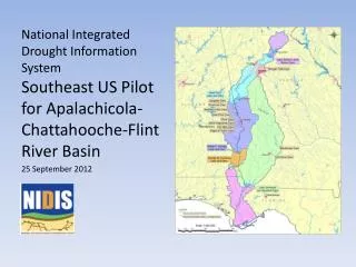
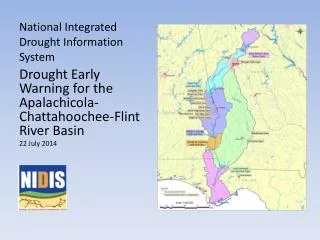
An Overview of the National Integrated Drought Information System (NIDIS). Jim Verdin USGS, Earth Resources Observation and Science Center and NIDIS Program Office, Boulder, Colorado. Background. Hazard X Vulnerability = Risk (Impact). The Cycle of Disaster Management.

E N D
An Overview of theNational Integrated Drought Information System (NIDIS) Jim Verdin USGS, Earth Resources Observation and Science Center and NIDIS Program Office, Boulder, Colorado
Background Hazard X Vulnerability = Risk (Impact)
The Cycle of Disaster Management NDMC and others
The National Integrated Drought Information System (NIDIS) • An information system for drought early warning and adaptation • Public Law 109-430 authorizing NIDIS signed by President in December 2006 • Led by NOAA, a multi-agency partnership of Federal, State, and Local cooperators • A clearinghouse for drought mitigation and response innovations • Coordination of drought plans among states, communities of a common river basin • Strengthening monitoring networks
NIDIS – 2007 • NIDIS Director appointed – Roger Pulwarty • NIDIS Program Office (NPO) established at NOAA in Boulder • USGS and WGA assignees at NPO • NIDIS highlighted in NOAA RFP’s (SARP, TRACS, Climate Test Bed) • NIDIS highlighted in NASA ROSES 2007 RFP • NIDIS Implementation Plan released, June • NIDIS Program Implementation Team Meeting, October • NIDIS website www.drought.gov demonstrated at the U.S. Drought Monitor Workshop, October
Governance Structure NIDIS Executive Council Co-chairs: Director, NOAA Climate Program Office (or designee) Director, National Drought Mitigation Center (or designee) NIDIS Program Implementation Team (NPIT) Working-Level Partner Representatives Coordinate and develop evaluation criteria for all NIDIS activities including pilot project selection Chair: NPO Director • NIDIS Program Office • ( Director) • Coordinate NIDIS-relevant cross-NOAA • and Interagency drought-related activities • Develop a national presence for NIDIS • (e.g. formal links to National Governors Ass’n) • Participate in GEOSS / IEOS NIDIS Technical Working Groups Federal, Regional, State, Tribal and Local Partner Leads Embedded in national and regional, and local NIDIS Activities Develop pilot implementation and transferability criteria Co-Chairs selected by NPIT Public Awareness And Education U.S. Drought Portal Engaging Preparedness Communities Interdisciplinary Research and Applications Integrated Monitoring and Forecasting Drought Early Warning System Design, Pilots, and Implementation
Western Governors Association NOAA USGS Dept. of Interior (BoR) U.S. Army Corps of Engineers USDA (NRCS, ARS, CSREES) NASA Indigenous Waters Network Regional Climate Centers National Drought Mitigation Center Association of State Climatologists Cornell University New Mexico State University Rutgers University South Dakota State University University of Oklahoma University of South Carolina University of Washington The Weather Channel PL109-430 www.drought.gov NIDIS Pgm Implementation Team affiliations:
Elements • 1. U.S. Drought Portal: • Development and tailoring • 2. Climate Test Beds: • Integrating data and forecasts • 3. Coping with Drought • Integrated Research and applications • Engaging preparedness communities • Education and awareness • 4. NIDIS Pilots: • Early Warning System Design and Implementation • 5. NIDIS Program Office
NIDIS Workshops • “Remote Sensing Contributions to Drought Monitoring”, February 6-7, 2008, Boulder • “NIDIS Southeast Drought Workshop” – April 29-30, 2008, Peachtree City, Georgia • “Drought Early Warning – State of the Practice in the United States”, June 2008, Kansas City • “Reconciling Projections of Future Colorado River Stream Flow”, Sept 2007/August 2008
NIDIS SOUTHEAST US DROUGHT WORKSHOP Peachtree City, Georgia - April 29th-30th, 2008 • Overview of Federal Drought Products • Overview of State Drought Plans and Triggers Used: What Works and What is Needed • Coastal and Estuarine Issues and Drought • Current Long Range Forecast from NOAA
The Interagency U.S. Water Monitor Streamflow – Reservoirs – Groundwater – Forecasts – Snow http://watermonitor.gov
USGS WaterWatch -- Drought Watch http://water.usgs.gov/waterwatch/
NIDIS Pilots Southeast Low flow shortage triggering criteria (Powell/Mead) Forest health/recreation/tribal lands Urban-Interbasin transfers
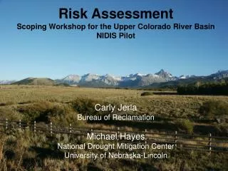
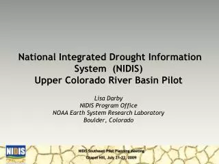
Upper Colorado River Pilot Pilot Scoping Workshop Drought early warning client organizations convened from three categories: • Water managers from Reclamation and State governments of Utah, Wyoming, and Colorado (DWRs, State Engineers) • Urban/local water supply managers (like Denver, Salt Lake City, Northern Colorado Water Conservancy District) • Ecosystems/environmental/recreational resource managers (Forest Service, EPA, States, NPS, USGS/BRD, NGOs) • Explore existing mandates, decision cycles, and organizational capacities to determine a team to implement the pilot
Upper Colorado River Pilot • Assessment study of monitoring gaps • Gather and synthesize information from observation network operators like USGS, NRCS, NOAA, etc. • Identify unmet needs for drought early warning • Provide the basis for initiatives to strengthen and enhance monitoring in support of drought early warning
Upper Colorado River Pilot Risk Assessment Team • The team would review existing practices for use of monitoring and forecast information, mitigation, preparedness, communication, and response • Use the findings to make recommendations for improvements in human capacity, information management, etc, leading to design of the Upper Colorado River Drought Early Warning System
Upper Colorado River Pilot Design Implementation • “Test run” the data, information, and communication flows of the early warning system design through a full annual cycle of decision making Document outcomes and lessons learned with respect to: • Timelines and other assumptions • Resources • Sustainability • Transferability – replication in other basins
Global Climatic-Drought Contributors:A continuum Droughts span a large range of temporal and spatial scales 30DAYS 1SEASON — SCALES OF DROUGHT — Heat Waves Storm Track Variations Madden-Julian Oscillation El Niño-Southern Oscillation Decadal Variability Solar Variability Deep Ocean Circulation Greenhouse Gases 3YEARS 10YEARS 30YEARS 100YEARS SHORT-TERM INTERANNUAL DECADE-TO-CENTURY 25
Managing Drought as Climate Changes • The combination of the inherent uncertainty of natural variability, plus projections for a warmer climate in the 21st century, make early warning and adaptation more important than ever • Risk management for variability and climate change not appreciably different • NIDIS offers a framework for integration of vulnerability and hazard information for planners and decision makers