Download
1 / 18
190 likes | 354 Views
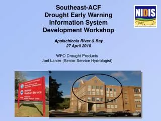
Drought Early Warning and Information Tools. KT Ingram Presented to Southeast-ACF Drought Early Warning Information System Development Workshop: Apalachicola River & Bay NIDIS Pilot 27-28 April 2010, Apalachicola, FL. The many faces of drought. Climatological – SPI deviation from normal

E N D
Drought Early Warning and Information Tools KT Ingram Presented to Southeast-ACF Drought Early Warning Information System Development Workshop: Apalachicola River & Bay NIDIS Pilot 27-28 April 2010, Apalachicola, FL
The many faces of drought • Climatological – SPI deviation from normal • Hydrological – Streamflow, groundwater depth • Local vs indirect • Agricultural – reduced growth, yield, quality • Rainfedvs irrigated • Duration, intensity, and timing • Drought and heat
Outline • US Drought Portal • NIDIS • National drought monitor • River Forecast Center • US Geological Survey • State Climate Offices • LGMI high resolution monitoring • Southeast Climate Consortium • KBDI forecast • LGMI monitoring and forecast • ARID monitoring
Interactive map viewer – Current DM http://www.drought.gov/portal/server.pt/community/drought_gov/map_viewer
Interactive map viewer -- Outlook http://www.drought.gov/portal/server.pt/community/drought_gov/map_viewer
SE River Forecast Center:Current conditions www.srh.noaa.gov.serfc
Alabama Office of the State ClimatologistLGMI is updated daily, based on Doppler radar precipitation estimates to give a 4 km × 4 km resolution http://nsstc.uah.edu/aosc/lawn_garden_se.html
AgroClimate.org AgroClimate is a web-based decision support system, which was developed by the SECC and is now hosted by Florida Cooperative Extension When SECC drought tools have been tested and evaluated by users, they are added to AgroClimate
Wildfire threat forecast http://agroclimate.org/forestry/wildfire/wildfire.php
Agricultural Reference Index for Drought – ARIDAn experimental product
Please visit us at: • AgroClimate.org • SEClimate.org • Open.AgroClimate.org