Download
1 / 29
310 likes | 453 Views
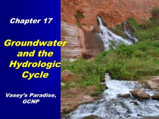
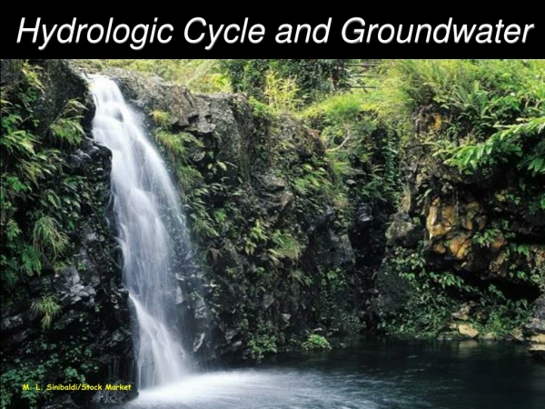
Hydrologic Cycle and Groundwater. Chapter 11. Marble Canyon. John Wesley Powell Explored the Colorado River in 1869. Planned the expedition from Illinois Normal University. Text Figure 11.10 Vasey’s Paradise. Good friends with George Vasey, Botanist and Curator. Water Cycle Flux.

E N D
Hydrologic Cycle and Groundwater • Chapter 11
Marble Canyon John Wesley Powell Explored the Colorado River in 1869. Planned the expedition from Illinois Normal University Text Figure 11.10 Vasey’s Paradise Good friends with George Vasey, Botanist and Curator
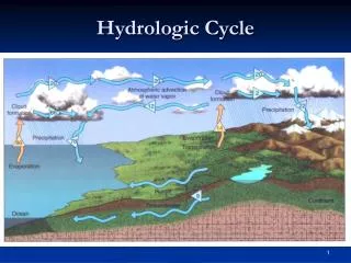
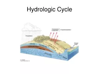
Water Cycle Flux • The annual movement of water from one reservoir to another
Appropriated Water Rights Riparian Water Rights
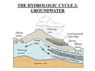
Groundwater - all of the water contained in the spaces within bedrock and regolith. (regolith - the unconsolidated material that overlies bedrock)
Important Terms • Porosity - The total percent of open space volume within material (normal range up to 60%) • Saturation - the percent of open space filled with a fluid • Permeability – an index of how easily a fluid moves through a material • Technical Definitions • Permeability (k) - the yield (gallons/day/ft2 at 100% gradient) • Hydraulic Conductivity (k) - movement (cm/sec at a 100% gradient)
Classification of Geologic Materials • Aquifer High yield - High potential velocity • Aquitard Low yield - Low potential velocity • Aquiclude Very low to no yield - Very low potential velocity
Part of the Town of Normal’s Well Field Tight glacial till Very tight glacial till
Mahomet Valley Aquifer 1.25 million acres The buried bedrock valley ranges from 6.5 to 24 kilometers wide and 15 to 60 meters deep. The aquifer currently supplies about 850,000 people.
Groundwater Classification(Illinois Pollution Control Board) • Class I Potable • Groundwater that is likely to be used for drinking water • Drinking Water Standards mg/l = parts per million (1 oz. salt on 1/2 ton potato chips) • ug/l = parts per billion (1 oz. salt on 10 tons of potato chips)
Groundwater Classification(Illinois Pollution Control Board) • Class 2 General Resource • Groundwater that moves into streams and other bodies of water • 2 to 10 times drinking water standards (except fluoride)
Groundwater Classification(Illinois Pollution Control Board) • Class 3 Naturally Degraded • Long residence time and high dissolved chemical loads • Brine • Na, K, Li Cl, Br, F, NO3 • Ca, Mg, Fe SO4 • Ca, Mg, Fe CO3
Natural Acids • H20 + CO2 Yields H2CO3 (Carbonic Acid) • Natural Rain is slightly acidic • Vegetation produces Humic Acids Oak produces tannic acid • CaCO3 + H2CO3 yields Ca++ + CO2 + H2O