Download
1 / 31
310 likes | 383 Views
Detailed update by Field Research Engineer Rodger Young on installation, maintenance, and research at multiple monitoring sites in the Murrumbidgee Basin. Includes data acquisition methods and calibration studies for CS615 and CS616 monitoring stations.

E N D
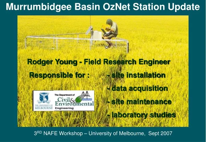
Murrumbidgee Basin OzNet Station Update Rodger Young - Field Research Engineer Responsible for : - site installation - data acquisition - site maintenance - laboratory studies 3RD NAFE Workshop – University of Melbourne, Sept 2007
OzNet Station Location Murray-Darling Basin Murrumbidgee Catchment Melbourne
MurrumbidgeeCatchment Topography ( 13 sites)
Original ‘Old’ CS615 Monitoring Stations The original 18 - CS615 field monitoring stations were installed in spring 2001. The sites were chosen to cover the whole catchment with intensive study groupings of 5 sites in each of the Adelong and Kyeamba Creek sub-catchments.
Later ‘New’ CS616 Monitoring Stations An additional 20 - CS616 field monitoring stations were installed in spring 2004 with a view to recording satellite ground truthing data. The two grouped locations chosen were: • within the Kyeamba Creek sub-catchment • and in the Yanco district.
Three Instrumented Areas Murrumbidgee River Catchment (1000002 km) Kyeamba Creek catchment (600 km2) Yanco area (2500 km2) Adelong Creek catchment (100 km2)
Kyeamba Creek ‘New’ CS616 Sites K8 K6 K10 K14
Yanco District ‘New’ CS616 Sites Y4 Y2 Sites approximating to this grid arrangement Y11 60km Y9 60km
Measurement Validation for Old CS615 Monitoring Stations • CS615 Measurement Validation • TDR sensors were installed as an aid to CS615 calibration • - Soil temperature sensors were installed as the CS615 signal is temp dependent • - Gravimetric sampling was attempted at each depth
CS615 General Soil Moisture Calibration Relationship q = 0.4 Nb N = (P25 – P0.0) / (P0.4 - P0.0) Western and Seyfried Where the temperature corrected (to 25oC) period measurement of the sensor is obtained from : P25 = [Pobs – o(T – 25)] / [ 1 + s(T – 25)] Where s is the slope and o is the offset of the temperature correction function for each site : CT = sP25 + o
CS615 General Soil Moisture The figure shows a plot of the optimal normalised period N against measured soil moisture from all sites. From the high R2 value of 0.95 and low RMS error of 2.5%v/v, the fit is acceptable.
Measurement Validation forNew CS616 Monitoring Stations • CS616 Measurement Validation • TDR was installed as an aid to CS615 calibration • - Temperature sensor installed at 15cm only • - Bulk sampling for Laboratory calibration study and soil particle analysis • - Gravimetric sampling was attempted
CS616 General Soil Moisture Calibration Relationship • = aN for N <= g • = ga + [(0.4 - ga)/(1 - g)b] (N – g)b Rudiger * Dr Chris Rudiger 2007
Soil Specific Curve Kyeamba Creek This figure shows the plot of the optimal normalised period N against measured TDR soil moisture from sites within the Kyeamba Creek catchment. From the low RMS error value, the fit is acceptable.
Soil Specific Curves Yanco Type1 Soils This figure shows the plot of the optimal normalised period N against measured TDR soil moisture from type1 soil sites within the Yanco district. From the low RMS error value, the fit is acceptable. Must be noted that points from seven sites fell outside the main grouping and need further investigation ( shown here as Xs ).
Soil Specific Curves Yanco Type2 Soils This figure shows the plot of the optimal normalised period N against measured TDR soil moisture from type2 soil sites within the Yanco district.
CS616 Calibration Issues • The extended drought period over the time of the Murrumbidgee study has made it difficult to collect undisturbed gravimetric samples from the hard dry clay soils, especially for 60-90cm. • Instead, bulk soil samples have been collected for laboratory calibration studies. • Soil temperature was only measured at a mean depth for the 0-30cm sensors therefore estimates were made for the temperatures at the 30-60cm and 60-90cm sensors using a simple ratio from the nearest site where temperatures at all depths were recorded.
Plans for Improvements to CS616 Calibration Relationship • Laboratory study of CS616 responses using bulk soil samples which have been collected from the sites for the corresponding 0-30cm, 30-60cm and 60-90cm sensor depths. Unfortunately a time consuming procedure. • Have recently received back the results of soil particle analysis to allow accurate grouping into soil types. • Soil salinity testing will be carried out to further study sensor response issues.
OzNet Data- Records from 38 Murrumbidgee sites- Bureau of Meteorology Data- Kyeamba Flux Station Data Soil Moisture, Rainfall, Ground Water BOM stations : Yanco, Narrandera, Wagga Wagga plus at all of the original 18 Old Sites UoM Flux Station : K10
Bureau of Meteorology Data • Forcing Data Available : • - Rainfall • Air Temperature • - Specific Humidity • - Wind Speed • - Short Wave Radiation • - Long Wave Radiation
Kyeamba Creek Flux Station 4-way radiometer, incoming & outgoing shortwave & longwave radiation: 30min averages recorded 3D sonic anemometer & open path gas analyser for LE & H, 3m above ground: 10Hz measurements, 30min averages recorded Air temperature & relative humidity probe, 2m above ground: 30min averages recorded Wind direction and speed: 30min averages recorded Tipping rain gauge bucket: 30min totals recorded Barometric pressure sensor: 1 reading per hour
Belowthe Ground CS615 Soil Moisture Probes: Measuring every 30 mins Soil temperature probes: Measuring every 30 mins 2cm 8cm 5cm 10cm 20cm 30cm Soil heat flux plates: 30min averages recorded 50cm 60cm 90cm (Not to scale) 100cm
Murrumbidgee Basin OzNet Station Update Rodger Young - Field Research Engineer Responsible for : - site installation - data acquisition - site maintenance - laboratory studies 3RD NAFE Workshop – University of Melbourne, Sept 2007