Download
1 / 13
130 likes | 519 Views
Delve into historical insights on how geography shapes life and adventures, from bays to mountains, offering unique perspectives for discovery.

E N D
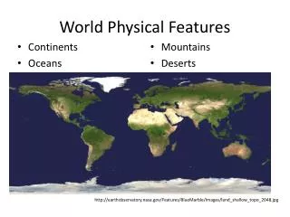
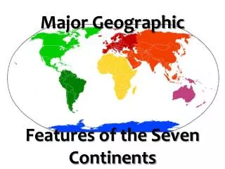
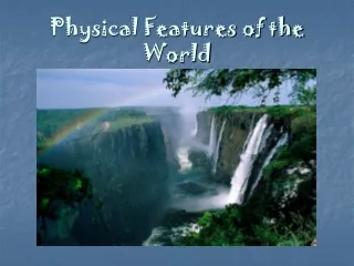
Geographic Features of the World A Historical look into how Geography influences life and exploration.
Bay • An area of water bordered on three sides by land. • Ancient Explorers used bays as loading and unloading places because of their calm waters.
Delta • A landform where the mouth of a river flows into an ocean, sea, desert, or lake. • Great tool for navigating an unknown land.
Island • Any piece of land that is completely surrounded by water, above high tide. • Places of rest on a journey and provided calmer seas around them.
Lake • A body of water on a body of land. • Source of fresh water and habitation.
Mountains • A mountain is a landform that extends above the surrounding terrain in a limited area. • Barrier of exploration. • Hard to cross
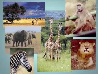
Savannah • Savannas are characterized by grasslands surrounded by trees, • Grazing animals provide a source of food for travelers.
Mesa • is an elevated area of land with a flat top and sides that are usually steep cliffs. • Good for surveying the land.
Strait • A strait is a narrow channel of water that connects two larger bodies of water, and thus lies between two land masses. • Calm waters for explorers.
Swamp • A swamp is a wetland that features temporary or permanent pools of rain water • Can be dangerous.
Valley • In geology, a valley is a land between two mountains. • Cut by a river or glacier. • River valleys provided avenues of travel.
Capes • Land that is surrounded by water on three sides. • Rough waters
Rivers • A river is a natural waterway, which moves water across the landscape from higher to lower elevations. • Provided travelers and traders with a highway. for travel.