Download
1 / 35
370 likes | 514 Views
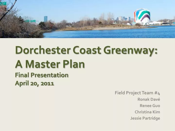
Dorchester Coast Greenway: A Master Plan Final Presentation April 20, 2011. Field Project Team #4 Ronak Davé Renee Guo Christina Kim Jessie Partridge. Acknowledgements. Rusty Russell, Professor & Project Advisor Rachel Bratt , Professor Jay Monty, TA & Project Advisor Pete Kane, TA.

E N D
Dorchester Coast Greenway:A Master PlanFinal PresentationApril 20, 2011 Field Project Team #4 RonakDavé Renee Guo Christina Kim Jessie Partridge
Acknowledgements Rusty Russell, Professor & Project Advisor Rachel Bratt, Professor Jay Monty, TA & Project Advisor Pete Kane, TA Cathy Garnett, Project Manager Rob McArthur, Neponset Manager Paul Nutting Pete Stidman, Director Candice Cook, Program Manager
Research Issue Neponset River Trail Boston Harborwalk Critical Missing Link
Team Goal: Visioning a Connection 10 scenic miles of car-free walking and bicycling along the Dorchester Coast
SurveyRespondents Age of Respondents N = 315
Survey Results “I support the creation of linkages connecting existing recreational path networks, such as the Harborwalk and the Neponset River Trail”
Survey Results “I would use the coastal pathway system for exerciseandrecreation”
Survey Results “I would use the coastal pathway system to commuteto school or work”
Open Ended Questions Benefits? Concerns? “It helps bring the community together.” “some public safety concerns”
Public Meetings Savin Hill Pope’s Hill Port Norfolk BNAN Cedar Grove
Section 1: Port Norfolk Port Norfolk Tenean Beach Southeast Expressway Shaffer Paper Site MBTA Rail Line Base map source: Bing Map
Section 1 Port Norfolk • Route A: Franklin Street • Direct route and low traffic flow • Shared road - Woonerf • Minimal traffic increase • Route B: Integrated with new park • Access to new Shaffer Paper Park • Routed through neighborhood • Improved sidewalk and crosswalk
Section 2: I-93 Corridor Victory Park Southeast Expressway Dorchester Bay Local Businesses MBTA Rail Line Tenean Beach Base map source: Bing Map
Section 2 I-93 Corridor • Route A: Cantilever Seaside Path • Mitigates negative impact of the Expressway • Public Access to waterfront • Directly connects to trails on Tenean Beach and Victory Park • Route B: Gas Pipeline Corridor • Readily implementable • Increases access to local businesses
Section 3: Morrissey Blvd Savin Hill Yacht Club Malibu Beach Morrissey Blvd Dorchester Bay Gas Tank Southeast Expressway Freeport Street Base map source: Bing Map Victory Road Park
Section 3 Morrissey Bridge • Route A: Off-road path along east side of Morrissey Blvd • Trail along National Grid solar array field • Cantilever on drawbridge • Short section of seawall with path on top • Route B: Alternative section for bridge • Narrow traffic lanes • Widen sidewalk on east side of the drawbridge • Move obstacles on the bridge
Implementation: Short Term • Short Term Actions- Procure engineering consultation and feasibility study - Align with ongoing development initiatives such as Shaffer Paper park - Secure funding sources • Short Term Improvements- Install crosswalk at I-93 Victory Road off-ramp - Improve push-button crossing at Malibu Beach
Implementation: Long Term • Continue to engage communities • Develop primary coastal trail • Monitor and support usage • Improve access for surrounding neighborhoods • Coordinate signage with Harborwalk and Neponset River Trail