Download
1 / 20
200 likes | 330 Views
Dive into the fascinating world of maps, encompassing diverse types from political to physical and the unique Australian 'mud map.' Political maps highlight country names, borders, and important cities, while physical maps showcase natural features like oceans and topography. The term 'mud map' harkens back to early Australian outback travelers who drew maps in the dirt to share directions and stories around campfires. Discover how these maps played a crucial role in navigating the uncharted landscape and how they still hold cultural significance today.

E N D
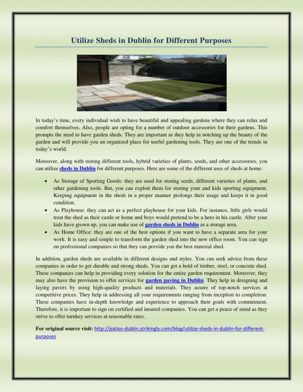
Maps For Different Purposes Ms Galas
includes Country Names, Country Borders, Physical Ocean Features, Island Names
Topographical Maps • Can show international boundaries, country names, capitals, and selected cities and towns.
Mud Map • The term 'mud map' is an old Australian bush saying. It dates back to the early years of European settlement when much of the continent was still unexplored and unchartered by white men. • To outline directions to each other, outback travellers used to draw maps in the dirt or in the mud after it had rained. These in turn became known as 'mud maps'. • Often while sitting around a campfire fellow travellers would share stories, trade information and pass on the latest news. This news may have been the latest gold rush or possibly a recent flood and so the mud map became the focal point for describing the whole event. • The term mud map has remained in the Australian language particularly with people from the bush. These days however the maps are usually hand drawn on paper although you may occasionally see someone squat down and actually draw a map in the mud.