Understanding Spatial Statistics: Methods, Applications, and Importance
Spatial statistics encompass a diverse array of methods and techniques for visualizing, exploring, and analyzing data with spatial structures. This discipline is crucial in fields like meteorology, environmental science, and epidemiology, where geographic information shapes response patterns. By acknowledging spatial structures, we avoid spurious results in our analysis. Computer experiments utilize physical models and finite element analysis, yielding deterministic outputs without the need for replicates. Techniques such as universal and ordinary kriging are key for effective spatial modeling and prediction.


Understanding Spatial Statistics: Methods, Applications, and Importance
E N D
Presentation Transcript
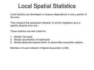
Spatial statistics • What is spatial statistics? • Refers to a very broad collection of methods and techniques of visualization, exploration and analysis applied to data with spatial stucture. • Spatiotemporal-when time is involved • Why is it useful? • A lot of data contain geographic information • Interest in studying response patterns over a particular region • Ignoring the spatial structure -> spurious results • A few examples. • Meteorology –weather patterns over a country/region • Environmental Science –pollutant concentrations over an area • Epidemiology –disease monitoring
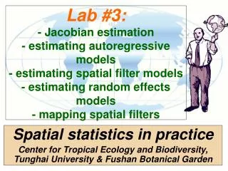
Properties of computer experiments • Computer experiments refer to those experiments that are performed in computers using physical models and finite element analysis. • Deterministic outputs (no random error) • No replicates required • Interpolation • Large number of variables • Time-consuming, expensive
Computer experiments modeling • Universal kriging • Ordinary kriging
. • ordinary kriging predictor: 23