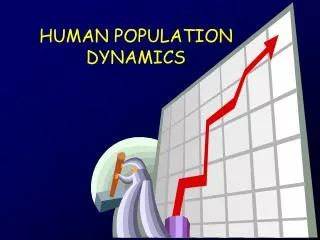
Geospatial Analysis for Population Dynamics and Natural Hazards
190 likes | 281 Views
Explore GIS applications in understanding environment, security, and disaster vulnerabilities globally and in India. Visualize population dynamics, land use changes, and disaster risks using geospatial analysis.

Geospatial Analysis for Population Dynamics and Natural Hazards
E N D
Presentation Transcript
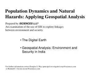
Population Dynamics and Natural Hazards: Applying Geospatial Analysis Prepared by ISCIENCESLLC* An examination of the use of GIS to explore linkages between environment and security • The Digital Earth • Geospatial Analysis: Environment and Security in India *for further information contact Douglas S. Way (principal investigator) way@isciences.com or Richard C. Cicone cicone@isciences.com
Viewing Global Population Models • TerraViva! Spinning Earth – digital Earth on the desktop • Free download at http://www.terraviva.net • Unique visualization of ORNL and CIESIN/UNEP • Global Population Models
Viewing Global Population Model ORNL Landscan GP 98 CIESIN GPW 1990
An Application of Geospatial Analysis: • Environmental Indications and Warning • Environmental Issues - Societal Stress • Food production, freshwater resources, water/air pollution, • land use change (deforestation, desertification, urbanization) • Affect public health, agriculture and industrial development, • demographic patterns, local through national political • alliances,economic growth, infrastructure planning, • crisis response capabilities……. • Affect political, economic and social dynamics • And are exacerbated by: • continued rapid population growth and migration • natural hazards and weather variability (shock) events
Value of GIS Technology • Environmental Issues are spatial in nature with global • to local origins • Environmental Issues are dynamic (process and time series) • Environmental Issues are subject to natural changes, • anthropogenic stressors and shock events • GIS facilitates trend analysis and ‘what if’ scenarios • GIS provides a strong interface to remote sensing sources • Visualization is a strong analysis and communication tool • GIS provides a platform for the integration of other data
Environmental Outlook: • South Asia with a focus on India • Urban population modeling • Population Density Change (1960, 1998, 2010) • Urbanization Risk (2025) • Natural Disaster Vulnerabilities – severe storm risk
1960 Population 424,391,200 1960 Population Density
2010 Population 1,182,171,000
Major Storm Tracks & Risk Areas
Cyclone Vulnerability High 54.8 million Mod. High 278.7 million Moderate 254.7 million
Population Possibly Impacted Dark Red: Very High 2.6 million Red High 2.5 million Orange Mod. High 1.8 million Yellow Moderate 10 million
Summary • “Digital Earth” will introduce new ways for researchers to • assess interactions of humans and nature. • Land use change dynamics such as urbanization can • be readily captured by satellite remote sensing. • Subnational (disaggregated) population models assist • analysis of risk due to land use change, or natural hazards. • Cartographic modeling is of value to visualize change • dynamics and explore implications. • Data are becoming more complete, precise and accurate. • Trends and alternative scenarios can be modeled as well • as assist in their evaluation. • Built up spatial information systems can be used to examine • “what if” scenarios conduct rapid assessment of real events.