Download
1 / 9
90 likes | 208 Views
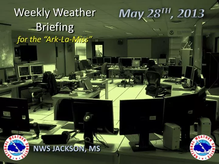
May 28 TH , 2013. Weekly Weather Briefing for the “Ark-La-Miss”. NWS JACKSON, MS. Overview. DRYING OUT – Mainly Dry Since last Tuesday through early Wednesday across the Region “Afternoon Heating” type of summer thunderstorm activity expected to begin tomorrow (Wednesday)

E N D
May 28TH, 2013 Weekly Weather Briefingfor the “Ark-La-Miss” NWS JACKSON, MS
Overview • DRYING OUT – Mainly Dry Since last Tuesday through early Wednesday across the Region • “Afternoon Heating” type of summer thunderstorm activity expected to begin tomorrow (Wednesday) • Cold front expected to impact the region with greater rain chances early next week • Heat Safety Awareness Day Friday
Pattern to Become Wetter (in Summertime Fashion) Moisture increasing from out of the southeastern Gulf of Mexico will combine with incoming minor trough energy from the Western CONUS to kick up afternoon showers and storms through the remainder of the week FLOW PATTERN ~ 20,000 FT PRECIPITABLE WATER
DRYING OUT SOME AREAS OF CENTRAL AND SE MS HAVE RECEIVED LITTLE RAINFALL IN THE PAST 2 WEEKS FAR FROM THE POINT OF WORRYING ABOUT DROUGHT YET CONSIDERING WET WINTER AND SPRING, JUST SOMETHING TO KEEP IN MIND
Most River Levels Falling RECENT DRY WEATHER HAS ALLOWED LOCAL RIVER AND STREAMS TO DROP SIGNIFICANTLY. HOWEVER, THE MS RIVER STILL REMAINS QUITE HIGH ALTHOUGH LEVELS ARE STEADILY FALLING. MS RIVER POINTS WILL CONTINUE TO SLOWLY DROP FOR ANOTHER 7 TO 10 DAYS BUT MAY GO BACK UP A LITTLE THEREAFTER DUE TO UPSTREAM RAINFALL!
Generally Light Rainfall withIsolated Pockets of Heavy Downpours Wednesday through Monday Wednesday through Thursday Friday through Saturday Sunday through Monday
Decent Chance of Cold Front Passage ending Rain Chances by Mon/Tue
Hurricane Preparedness Week • NOAA is officially forecasting an ABOVE AVERAGE Hurricane Season, which runs from June 1st through November 30th • NOAA also states there is a non-negligible risk of a hyperactive Hurricane Season (think 2005) • Peak Activity for Hurricane Season is usually around early September, but early season activity generally is associated with weaker cyclones affecting the Gulf of Mexico and Caribbean. • Inland residents of the Lower Mississippi Valley should now make sure they are prepared for inland impacts from Tropical Storms and Hurricanes, such as flooding and gusty winds • Visit http://www.nhc.noaa.gov/prepare/toget detailed information about keeping you and your loved-ones safe over the course of the 2013 Hurricane Season!
Thanks for viewing NWS Jackson’s Multi-Media Weather Briefing! These briefings are usually given on Mondays and Thursdays. If you have any feedback or suggestions, please contact us at 601-936-2189 , or via Facebook at “US National Weather Service Jackson Mississippi”, or on Twitter @NWSJacksonMS