Download
1 / 25
300 likes | 477 Views
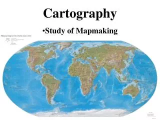
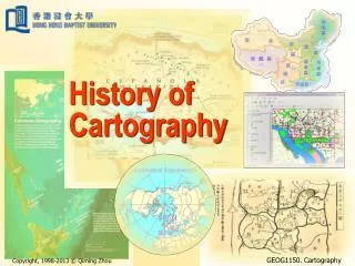
Explore the rich history of cartography in Europe and the Middle East, from ancient maps like Babylonia's to Ptolemy's Geographica. Discover the significance and evolution of mapmaking, from ancient drawings to precise world maps.

E N D
History of Cartography I Europe and the Middle East
Mapmaking in the Age of Archaic Greece • Anaximander (c. 610 - 546 BCE) • Corrected by Hecataeus (c. 550-480 BCE) • Pythagorus (c. 550 – 475 BCE) • Earth as a sphere (c. 570 - 495 BCE) • Herodotus (c. 484 - 425 BCE) • Aristotle (384 – 322 BCE)
Eratosthenes: The Father of Modern Cartography? • Eratosthenes (ca. 275-195 BCE) • On the Measurement of the Earth • Geographica • Calculated the circumference of the earth (within 1/2 % accuracy) • Introduced the idea of meridians and parallels
Claudius Ptolemy (ca. 83- 168 CE) • Benefited from Greek theoretical knowledge and Roman knowledge of the world • Geographica • Coordinates based on latitude and longitude • index
Themes • Different reasons for the creation of maps • Understand one’s place in the world • Religious meaning • Practical necessity • propaganda
The Semiotics of Maps • Link of complex cartography and literacy? • Bird’s eye view • Representation of abstractions in oral cultures