Download
1 / 15
160 likes | 195 Views
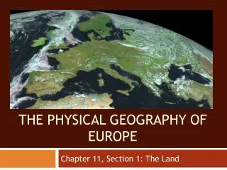
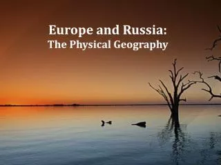
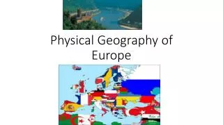
Discover the varied landforms of Europe and Russia, from rugged highlands to fertile valleys and vast mountain ranges. Explore major regions such as the Northwest Highlands and Northern European Plain, highlighting key features like the Alpine Mountains System and Scandinavian Peninsula. Learn about crucial water features and rivers like the Rhine and Danube, as well as the significance of Siberia in Russia's geography.

E N D
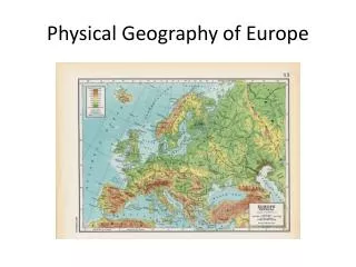
Landforms(4 major regions): • Northwest Highlands:rugged hills & low mountains, Iberian Peninsula is part of this (fjords) • Northern European Plain: broad coastal plain (from coast of France to Urals) • Central Uplands: hills, small plateaus & fertile valleys • Alpine Mountains System: includes a series of ranges that stretch across Europe
Mountain Ranges: • Alpine Mountain System – across southern Europe to the Balkan Peninsula • Ranges such as the Alps, Apennines, Pyrenees, and Carpathians make-up this system (cover most of Switzerland and Austria – parts of Italy and France).
Mountain Ranges: • Ural Mountains • Divide the region • Areas west are part of Europe, to the east, Asia
Peninsulas: • The Northern Peninsulas: • Scandinavian Peninsula = Norway and Sweden • Fjords: long, steep-sided glacial valley now filled by seawater • Jutland = Denmark
Peninsulas (cont.): • The Southern Peninsulas: • Iberian Peninsula = Spain and Portugal (semi-arid plateau) • Apennine Peninsula = Italy (mountainous) • Balkan Peninsula = former Yugoslav republics, Greece, Bulgaria, Romania, and Turkey - very mountainous
Iberian Peninsula Apennine Peninsula
Major Water Features: • Mediterranean Sea: lies to the south of Europe (connected to the Black Sea and Bosporus) • North Sea: along the shores of northern Europe (south of the Scandinavian Peninsula & northeast of the British Isles) – key for trading and fishing • Atlantic Ocean: lies to the west of the European continent
Rivers: • Rhine – most important river in western Europe – flows from Switzerland to the North Sea • Danube – flows 1,776 miles from Germany to the Black Sea • Thames – allows oceangoing ships to reach the port of London • Rhone – runs through Switzerland and France towards Lake Geneva
Rivers of the Region: The Rhone The Danube near the Romanian – Siberian border The River Thames
The Volga River: • Located in the southwestern part of Russia near Volgograd • South flowing river • Plays a major role in the shipping industry as well as a source of hydroelectric power
Siberia: • is a vast region on the eastern and North-Eastern part of Russia • It extends eastward from the Ural Mountains to the Pacific Ocean, and southward from the Arctic Ocean to the hills of north-central Kazakhstan and the national borders of both Mongolia and China