Download
1 / 17
170 likes | 204 Views
Discover Russia's vast landscapes, from the Ural Mountains to the Black Sea, covering natural resources, climates, and more. Learn about its rivers, forests, and unique climates, including the cold Eastern Siberia and the fertile North European Plain.

E N D
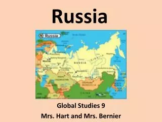
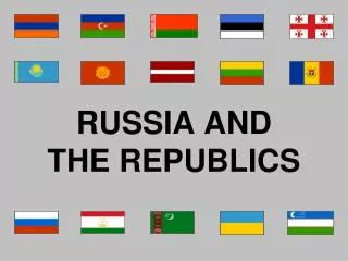
Bye Bye Soviet Union • In 1991, the Soviet Union broke up into 15 independent republics. • Russia is by far the Largest
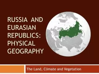
A Vast and Varied Land • Russia is the world’s largest country. • Covers 6.6 million square miles • Stretches across both Europe and Asia
Mountains and Plateaus • Ural Mountains • Mark the boundary between European and Asian Russia • Caucasus Mountains • Contains Russia highest point, Mt. Elbrus (and extinct volcano) • Central Siberian Plateau • Contains the Sayan Mts. And Yablonovyy Mts. That mark the border between Russia and China
Plains Areas • North European Plain • Makes up most of European Russian • The northern part of the plain is flat and drains poorly • Results in many swamps and lakes • The Southern part contains navigable waterways and a rich black soil known as Chernozem • About 75% of Russia’s population lives in the North European Plain • West Siberian Plain • Ural Mts. Divide NEP and WSP • Poorly drains • Result: Swamps and Marshes
Coasts, Seas, and Lakes • Russia has the longest continuous coastline of any country in the world. • Stretching 23,400 miles • Because of extremely cold weather, most ports are not accessible year-round because of ice • Black Sea • Russia’s Fishing Industry has thrived here • Caspian Sea • Largest inland body of water in the world • Not a sea because it does not connect to the ocean • Lake Baikal • Third largest lake in Asia • Deepest freshwater lake in the world • Estimated to contain about 20% of earth’s fresh water
Rivers • Volga River • 4th largest river in Russia • Called Matushka Volga or “Mother Volga” • Gives Russia a water route to northern Europe • Hydroelectric Power – power generated from falling water • 2/3 of Russia’s water traffic travels along the Volga • Siberian Rivers • Rivers flow south to north • Water melts earlier in the south, causing water to dam up at the frozen north • Results in swamps and marshes • Amur River • Marks border between Russia and China for about 1,000 miles • Warmer than most of Siberia • Siberia’s main-food producing Area
Natural Resources • Minerals • Petroleum deposits, dry natural gas, coal, nickel, aluminum, gemstone, platinum group metal, sulfur, and tungsten. • World’s largest nickel producer • Soil and Forest Land • Only 10% of Russian land is farmable • Permafrost – permanently frozen layer of soil • Black Earth Belt – Contain most of Russia’s farming • Extends from Ukraine to southwestern siberia • 1/5 of earth’s remaining forest lie in Russia • 75% in eastern Russia • Diminishing faster than Amazon
It’s Cold • Eastern Siberia • Contains Russia’s coldest winters • Verkhoyansk the “cold pole of the world” • Temperatures as low as -90°F
High Latitude Climates • Russia’s high latitude results in cold winters and short summers • Tundra • A vast treeless plain, where temperatures average below freezing • Located in Northern Russia bordering the Artic Ocean • Has weeks of no sun in the winter, and continuous sun in the summer • Subarctic • Dominate climate in Russia • Taiga – the coniferous forests extending across much of subarctic North America and Eurasia, bordered by tundra to the north and steppe to the south • Russian taiga is world’s largest coniferous forest
Mid-latitude Climates • Humid Continental • Milder (and more livable) weather than Tundra and Subarctic • Moscow: 9°F - 21°F (January) 56°F - 75°F (July) • Makes up majority of Russia’s North European Plain • Contains mixed forest and fertile land • Steppe • Wide, grassy plains of Eurasia • Contains fertile chernozem soil