Water as a Resource
570 likes | 604 Views
Explore the importance of water as a resource for various sectors, its limitations, and the role of geology in fluid storage and movement. Learn about groundwater systems, aquifers, and factors affecting water availability.

Water as a Resource
E N D
Presentation Transcript
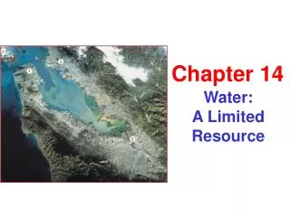
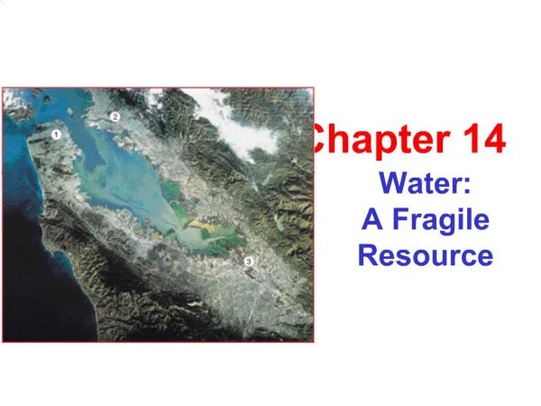
Water as a Resource Chapter 10
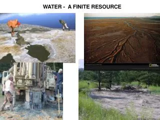
The Global Water Budget • Consider water as a resource because it is important for domestic use, agriculture, and industry • Fresh water is limited on the earth • Mostly Polar ice and in the ground • Water is regionally a renewable resource • Locally water may not be renewable • The geologic condition affects the quality and quality of water in a region
Fluid Storage and Mobility • Porosity and permeability involve the ability of rocks/sediments/soils to contain fluid and to allow fluids to pass through them • Porosity – the proportion of void space (holes and/or cracks) in material (soil or rock) where fluid can be stored • Usually expressed as a percent (1.5%) or a decimal (0.015) of the entire volume • Pore space can be occupied by fluid or gas
Fluid Storage and Mobility • Permeability – measures how readily a fluid passes through a material • Measures degree of interconnection between pores and cracks in rocks and soil • Grain shape and size are factors • How grains fit together influences permeability also • Porosity and permeability play a big role in groundwater hydrology, oil and gas exploration, and nuclear waste disposal
Fluid Storage and Mobility • Rock type will impact porosity and permeability • Igneous, metamorphic, and chemical sedimentary rocks have crystals that are tightly interlocked and low permeability and porosity • Weathering, dissolution, and fracturing will increase porosity and permeability in crystalline rock and carbonate rocks • Clastic sediments have more porosity and permeability • Sandstones are generally very porous • Clay and mud rich rocks are not porous or permeable
Subsurface Waters • Soils which are permeable will allow excess precipitation to infiltrate • Gravity will draw water down until an impermeable layer, an aquitard, halts it • Above this layer ground water will accumulate – infilling pore spaces • The saturated zone (or phreatic zone) will fill with water • Ground water is stored • The unsaturated zone (or vadose zone) lies above the saturated zone and pore spaces are filled with water • Soil moisture is found • The water table separates the two zones; it is the top of the saturated zone • Water stored and transmitted at rates sufficient enough to be useful is called an aquifer • Water moving into an aquifer to is called recharge
Aquifer Geometry and Groundwater Flow • Geology and geometry of rocks and sediments will control the behavior of ground water • An aquifer without an aquitard above it is an unconfined aquifer • An aquifer with an aquitard above and below is a confined aquifer • A confined aquifer may see hydrostatic water pressure increase and form an artesian system • Drilling into a confined aquifer under pressure will see the water rise above the aquifer • In this system the potentiometric surface is the height to which the water would rise
Darcy’s Law • Darcy’s Law is Q = K∙A(Δh/Δl) • Q = discharge • K = hydraulic conductivity • A = cross-sectional area • Dh = difference in hydraulic head • Dl = distance between well heads • Discharge is the amount of water flowing past a point over a period of time • It is influenced by the porosity and permeability of the rock or sediment of the aquifer
Groundwater Flow • Hydraulic head is potential energy in an aquifer • The height of water in an unconfined aquifer reflects the hydraulic head • The higher the water table the higher the head • The higher the potentiometric surface in a confined aquifer will equate to higher hydraulic head • Ground water flows spontaneously from areas of high hydraulic head to areas with low hydraulic head
Other Factors in Water Availability • Geometry of host rock units • Distribution of aquitard lenses may form perched water tables • Local precipitation patterns and fluctuations • Minerals in host rock • Location of wells relative to recharge zones and discharge points
Consequences of Groundwater Withdrawal • Pumping ground water will lower the water table and form a cone of depression around the well • This may impact local and regional ground water availability • Aquifer rocks may re-adjust after ground water is withdrawn • Sediments may compaction and cause surface subsidence • An area of low elevation, relative to sea level, may be inundated by the sea • Sinkholes may also develop depending on the host rock • Near coastlines saltwater intrusion may occur • Freshwater is less dense than saltwater • Saltwater near a coast line may push freshwater lenses back if recharge is not sufficient to force seawater toward the sea
Other Impacts of Urbanization on Groundwater Systems • An increase in people in an area may cause ground water supplies to be exhausted or loss of recharge to occur • Pavement and parking lots reduce the effectiveness of water infiltrating into ground water • Building on wetlands reduces recharge, water storage, and water quality • Ground water recharge can be enhanced by incorporating various artificial recharge strategies • Build artificial recharge basins • Employ any method to slow down run off and increases surface water infiltration
Other Features Involving Subsurface Water • Ground water may dissolve large volumes of rock (soluble rock) • Collapse of the surface rock may result in sinkholes • Caverns may also be enlarged • Karst is a type of land form associated with many sink holes in soluble bedrock such as limestone, dolomite, or gypsum • Water removes the minerals of the rock and carries the ions off in solution • Ground water flow rates will increase in karst areas • Ground water flows faster without sediments and rock in the flow path • Pollutants move faster through ground water systems in karst areas
Water Quality • Measures for expressing Water Quality • Parts per million (ppm) • Parts per billion (ppb) • Total Dissolved Solids (TDS) • The sum of dissolved solid chemicals in the water • It is important to know what chemicals are dissolved! • Hard Water contains substantial amounts of calcium and magnesium • Greater than 80 to 100 ppm
Water Use and Water Supply • In U.S. the east is generally humid • More dependence is on surface water • In the west more arid condition are found • More dependence is on ground water and impounding surface water for storage • Global water usage • Too many people • Too much demand • Not many places to find more water
Case Studies in Water Consumption • Plenty of water-supply problems: lakes, streams, or ground water • The Colorado River Basin • Drains portions of seven western states and many of these states have extremely dry climates • The High Plains (Ogallala) Aquifer System • The Ogallala Formation, a sedimentary aquifer, underlies most of Nebraska and sizeable portions of Colorado, Kansas, and the Texas and Oklahoma panhandles • The most productive units of the aquifers are sandstones and gravels • The Aral Sea, a disappearing lake • Lies on the border of Kazakhstan and Uzbekistan • Lake Chad • A disappearing lake on the edge of the Sahara Desert