Download
1 / 60
600 likes | 615 Views
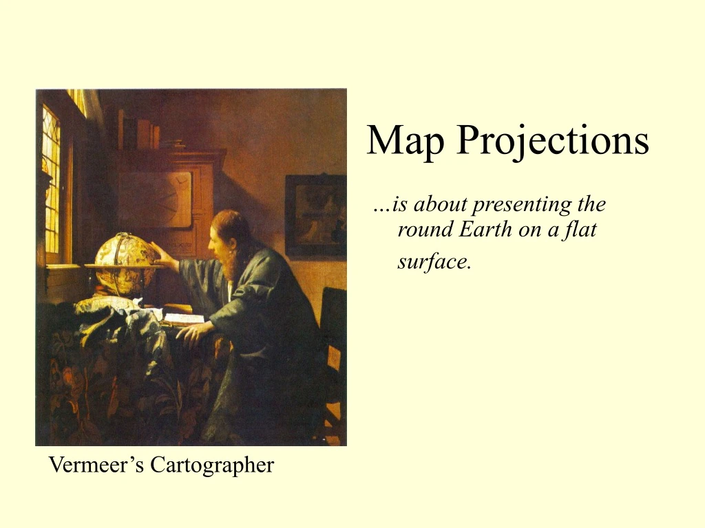
Map Projections. …is about presenting the round Earth on a flat surface. Map Projections:. Vermeer’s Cartographer. Some early maps… today’s world was unknown, but we can still pick out some familiar features. Some early maps…. T-O maps of medieval mapmaking

E N D
Map Projections …is about presenting the round Earth on a flat surface.Map Projections: Vermeer’s Cartographer
Some early maps…today’s world was unknown, but we can still pick out some familiar features.
Some early maps… • T-O maps of medieval mapmaking • Early European maps put Jerusalem at the center
Some early maps… • This early Moroccan map looks upside- down to us.
Some early maps… • Ptolemy’s map
Map Projection: How to project a round Earth on a flat map
The only accurate representation of the earth is a globe. Only a globe preserves the map qualities of area, shape, direction, and distance.
Cartographers through the years have used three basic types of projection--conic, plane, and cylindrical.
Standard Parallel • The line of latitude on a map projection that is not distorted
A cylindrical projection has grid lines that are at right angles to each other.
The “stretching” of the meridians at the higher latitudes causes landmasses near the poles to look much larger than they really are.
Greenland is actually about the same size as Mexico. • Brazil is six times larger than Alaska.
The Mercator projection preserves correct shape--it is a conformal map. • This projections is also used for nautical navigation—it has true compass direction.
Conic projections have fan-shaped grid lines. Distortion increases away from the standard parallel.
Conic projections are useful for showing landmasses in the middle latitudes with an east-west orientation, but they cannot be used to depict the entire earth.
Plane (azimuthal) projections show landmasss projected onto a flat piece of paper. • Shape is more distorted at the edges of this map.
If the center point of the map is the North or South Pole, it is called a polar projection.
The center point of a plane projection can be some point other than one of the poles.
Plane (azimuthal) projections are used by pilots because great circle routes appear as straight lines.
Great Circle Routes • The line created when you cut the globe in half connecting two points
Compromise projections combine elements of all three of the basic projections. The Robinson Projection is a popular compromise projection.
In 1998, The National Geographic Society adopted the Winkel Tripel Projection.
The Peters Projection lengthens the distance between parallels in the Southern Hemisphere so that Africa and South America are the correct relative size. It is the “politically correct” projection.
We are used to looking at maps that are centered on the Prime Meridian.
This map is upside down AND centered on the International Date Line
Interrupted Projections Why might you want to use this projection?
What is important to understand about this? • If you know the basic projection you are looking at, you know where the greatest distortion occurs and can view the map accordingly. • There is no “bad” projection. Each projection has its own advantages and disadvantages.
I. What type of map projection to use • Equal area – area is accurate • Conformal – shape is accurate • Azimuthal – direction is accurate • Equidistant – distance is accurate
II. What info to include/exclude • All maps have an ultimate goal • Cartographers inc/exc info to meet that goal
III. What type of Map to Use • Reference map – a general purpose map with physical and human features
Isoline map – connects points of equal value to make lines on a map
Topographic Map


