Download
1 / 16
160 likes | 282 Views
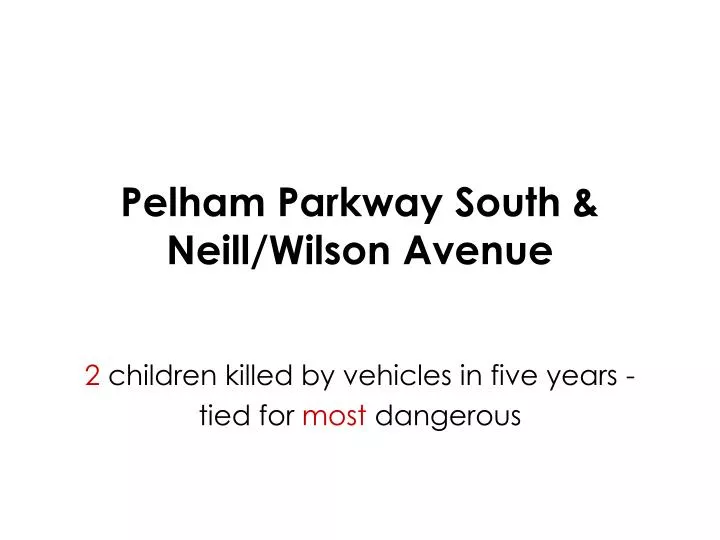
Pelham Parkway South & Neill/Wilson Avenue. 2 children killed by vehicles in five years - tied for most dangerous. View from South. View from East. High speeds Platoons arrive simultaneously then merge or turn Blind spot No crosswalk No access to parked cars. CONFLICT ANALYSIS.

E N D
Pelham Parkway South &Neill/Wilson Avenue 2 children killed by vehicles in five years - tied for most dangerous
High speeds Platoons arrive simultaneously then merge or turn Blind spot No crosswalk No access to parked cars CONFLICT ANALYSIS
SHORT TERM ACTIONS Speed Hump Crosswalks with Stop Lines Clear Corner Zones (no parking)
MIDDLE TERM ACTIONS Raised Separator Island Yield for Service Road Striped Corner Extensions w/Planters Realigned Crosswalk
LONG TERM ACTIONS Raised Corner Extensions Raised Intersection (Yield) Narrowed Roadway (2 lanes)
Speed Humps Grand Avenue off Burnside Van Cortlandt Park South
Traffic Islands Amboy Road, Staten Island Kew Gardens, Queens
Raised Intersections St. George Ballpark, Staten Island Slocum & Stratford, Brooklyn