Download
1 / 50
510 likes | 765 Views
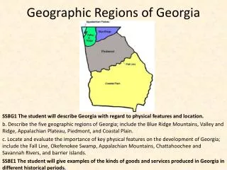
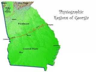
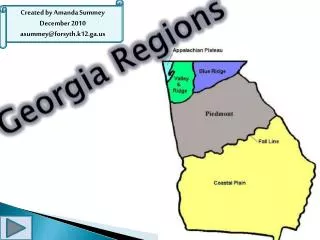
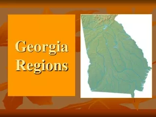
Physiographic Regions of Georgia. EQ: What are the characteristics of Georgia’s five geographic regions?. Region. An area on Earth’s surface that is defined by certain unifying characteristics (cultural, physical, or human). Appalachian Plateau. Plateau. 300 square miles NW corner

E N D
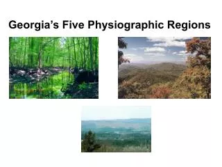
Physiographic Regions of Georgia EQ: What are the characteristics of Georgia’s five geographic regions?
Region • An area on Earth’s surface that is defined by certain unifying characteristics (cultural, physical, or human)
300 square miles NW corner (TAG-TN,AL,GA Corner) of Georgia Part of Appalachian Mountains 800-2000 feet Size/Location Elevation
Landforms • Broad flat topped mountains separated by ridges of limestone • Limestone caves, deep canyons, interesting rock formations, waterfalls
Soil/Rocks, minerals • sandstone, shale, limestone
Resources/Crops • Appalachian Oak Forests cover most of it. • pastures • Coal • the only source of coal in Georgia
Cities/Places of Interest • Sand Mountain • Lookout Mountain • Long narrow valley between these mts. • Cloudland Canyon • Chickamauga-civil war battle site
most of NW Georgia Part of Appalachian Mountains 700-1600 feet Size/Location Elevation
Landforms • long, parallel ridges • wide rolling valleys
Soil/Rocks, minerals • sedimentary rock • sandstone ridges • limestone and shale valleys
Resources/Crops • Forests, pastures • Apple orchards, wheat, cotton, hardwoods, pines, • 4% of Georgia’s farmland • timber
Cities/Places of Interest • Taylor Ridge, Pigeon Mountain • Dalton • Carpet industry – more than 70 carpet manufacturing plants
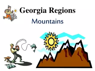
most of NE Georgia 2000 square miles Part of Appalachian Mountains 1600-4800 feet Size/Location Elevation
Landforms • highest mountains in Appalachian highlands • Rivers begin here. • steep slopes • waterfalls
Soil/Rocks, minerals • clay, sand • erosion • High precipitation – provides water for the entire state
Resources/Crops • Hardwood forests • apples • Small vegetable farms
Cities/Places of Interest • Chattahoochee National Forest • Brasstown Bald (treeless on top) 4,784 ft. • Amicalola falls • Tallulah Gorge • Helen
Other Features • Springer Mountain • start of the Appalachian Trail which stretches from Georgia to Maine (2,144 miles)
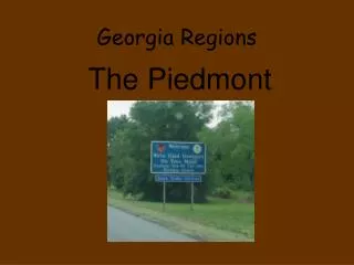
Piedmont “foot of the mountain”
30% of state between the Coastal Plain and the mountains 500-1700 feet Size/Location Elevation
Landforms • Gently, sloping hills, flatlands • valleys • many streams and rivers • ravines
Soil/Rocks, minerals • red clay, sandy loam • fertile soil • bedrock • large areas of solid rock just below the earth’s surface • often exposed where soil has washed away • granite, gneiss, marble
Resources/Crops • oak-hickory-pine forests • marble, granite • cotton, soybeans, wheat, poultry, cattle
Cities/Places of Interest • Athens • Atlanta • Milledgeville • Six Flags • Zoo Atlanta • Stone Mountain
Other features • 60% of Georgia’s population lives here. • Chattahoochee, Flint, Ocmulgee, Oconee Rivers
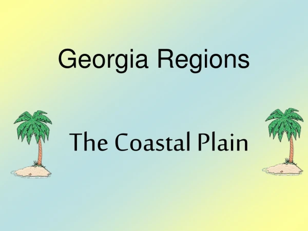
60% of state lower half of the state 0-400 feet Size/LocationElevation
Landforms • Two parts • Inner Coastal Plain • Outer Coastal Plain • gentle slopes • wide, deep, slow rivers
Soil/Rocks, Minerals • Limestone, sand, clay • Outer coastal plain -- poorly drained • Inner Coastal plain -- fertile soil, underground water
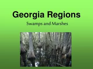
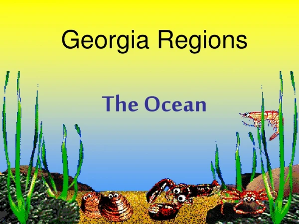
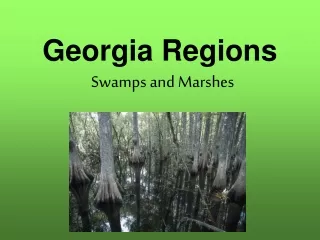
Resources/Crops • Outer Coastal Plain • wetlands (freshwater swamps, salt marshes) • used for pasture and timber • shrimp and fish • naval stores and pulp production • Barrier Islands • Inner • grows most of Georgia’s agricultural products • crops such as peanuts, cotton, Vidalia onions, corn, soybeans, peaches, pecans
Cities/Places of Interest • Savannah (GA’s 1st settlement), Columbus, Macon, Augusta, Albany, Valdosta • Deep water ports (Savannah and Brunswick) • Okefenokee Swamp – largest freshwater wetlandin N.America
Other features • once covered by ocean • Barrier Islands • protect mainland by blocking sand, wind, water that might cause erosion • tourism, recreation, wildlife sanctuaries (2/3 wilderness) • Jekyll Island (state park) • Cumberland Island (national seashore)
Fall Line • Point at which hilly or mountainous lands meet the coastal plain • Columbus, Macon, Augusta • Waterfalls provide a power source