Download
1 / 30
300 likes | 343 Views
Learn how to access and interpret various data sets like GRACE, GPS, Snow Depth, SnoTel, and surface water to understand water resources in your region. Gain insights on trends, tectonic movements, and the impact of human activities on water storage.

E N D
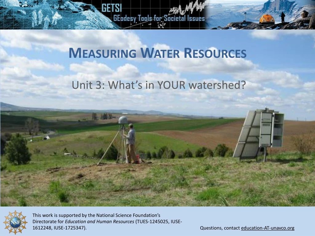
Measuring Water Resources Unit 3: What’s in YOUR watershed?
Accessing GRACE data for your region 1.) Navigate to CU Boulder’s Mascon Visualization Tool:https://ccar.colorado.edu/grace/gsfc.html 2.) Select “Trend” ontheleftand zoom intoyourarea.
Accessing GRACE data for your region 3.) Click on the Mascon that encompasses your area. A Mascon number, lat/lon, and a GRACE time-series will appear.
Accessing GRACE data for your region • Y-axismay be set in water equivalent height (cm) or mass (Gt) • Deseasoning“off” incorporates annual and semi-annual signals • Option to show trendline or not. Trend is listed in cm/year Option to save plot and download raw data
Accessing GRACE data for your region • Interpreting GRACE plots: • Seasonal cycles will likely be visible • Trendline can be used to infer longer-term changes in water storage • Potential anthropogenic influence water storage (example: groundwater withdrawal) should be considered
Accessing Vertical GPS data for your region • Go to the UNAVCO Plate Boundary Observatory (PBO) pagehttps://www.unavco.org/instrumentation/networks/status/pbo • Use the map to zoom into the station nearest you
Accessing Vertical GPS data for your region 3) Click on the green icon for the station to view a pop-up with basic information about the station’s status. 4) On the pop-up, click the station number to bring up a station overview page 5) Click the graph under ‘Station Position’
Accessing Vertical GPS data for your region • Interpreting the plot: • usually GPS station is uplifted during dry periods and subsides during wet periods. • unless aquifer is compressible, meaning that as water is removed, the aquifer shrinks, causing subsidence (e.g. California Central Valley?) • See also YouTube animation Measuring drought with GPS uplift subsidence subsidence uplift
Accessing Vertical GPS data for your region annual high – loss of H20 during growing season causes rebound? Interpreting the plot: annual low – increased weight of H20 from spring snowmelt?
Accessing Vertical GPS data for your region Interpreting the plot: • Changes withina year or overseveral yearsmostly are fromwater cycle • Long term trends aremore likelyfrom tectonicmovements Multi-year cycles of wetter-drier Long term tectonic uplift
Accessing Reflection GPS Snow Depth data for your region • Go to the data page for GNSS H20: • Make sure ‘Snow’ is selected on the left-hand side of the window • Find the station(s) nearest your region, click icon to bring up pop-up • Click graph icon to get quick look at last 5 years of data https://gnss-h2o.jpl.nasa.gov/index.php?product=snow Click to access station data and plots
Accessing Reflection GPS data for your region • Interpreting Reflection GPS data annual peak snowpack dry year wet year
Accessing SnoTeldata for your region • Go to the Snotel Interactive Map:https://www.wcc.nrcs.usda.gov/snow/snow_map.html • Click ‘Snow Water Equivalent’ > Stations Only • This will bring up map showing SnoTel stations colored by their current percent of normal snowpack.
Accessing SnoTel data for your region • Click on station dot to bring up pop-up window with stats about station. • Click on Water Year Chart to bring up this water year’s precipitation accumulation.
Accessing SnoTel data for your region • Interpreting SnoTel data plots Normal peak snowpack Normal start of snowpack accumulation Normal start of spring snowmelt Current year’s snowpack Normal end of spring snowmelt
Accessing surface water data for your region • Go to the USGS surface water information page: • Click ‘Current Conditions’ to bring up station map. • Click on state of interest to bring up better map. https://waterdata.usgs.gov/nwis/sw
Accessing surface water data for your region 1) Click on dot for your station (mouse over them for station name and current conditions) 2) This will take you to the station home page, with standard plots (last 7 days of stream flow data) 3) Click on drop-down menu at top to select ‘Daily Data’ (this helps big datasets load faster)
Accessing surface water data for your region Change these dates to control how long the plotted dataset will be period of record for streamflow data Leave as ‘Graph’ for quick auto-generated graphs, or select Tab-separated for a text file that can be loaded into Excel using Text-to-Columns.
spring snowmelt flood peaks flashier small stream responding to individual storm events dry season low early melt events or rain-on-snow events
Accessing groundwater data for your region • Go to the USGS page for groundwater information: • Click on either real-time or long-term data, depending on whether you want to look at long-term trends or intra/inter-annual variability. https://groundwaterwatch.usgs.gov/
Accessing groundwater data for your region • Choose a state, then choose a station on the map to get a pop-up about that station. Click the link in the pop-up.
Accessing groundwater data for your region • Scroll down to ‘periodic data’ to see a plot of depth-to-groundwater over the duration of the period of record. Raw data downloadable here
Annual cycles superimposed over multi-year wet/dry trends long decline, stabilizing in last 10 years Recent acceleration of groundwater decline slow rise in gw levels