Download
1 / 28
290 likes | 453 Views
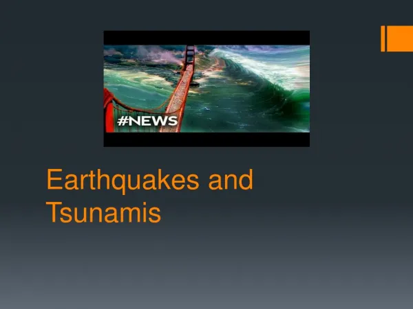
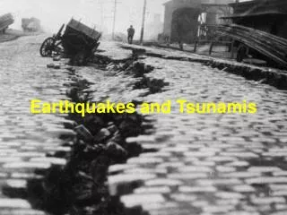
Earthquakes and Tsunamis. According to long-term records (since about 1900), we can expect about 18 major earthquakes (7.0 - 7.9 on the Richter scale) and one great earthquake (8.0 or above) in any given year.

E N D
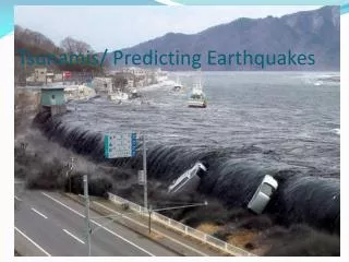
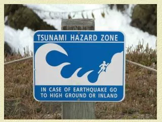
Earthquakes and Tsunamis • According to long-term records (since about 1900), we can expect about 18 major earthquakes (7.0 - 7.9 on the Richter scale) and one great earthquake (8.0 or above) in any given year • The number of earthquakes and tsunamis resulting in fatalities has increased approximately in proportion to global populations • The growth of giant urban cities near regions of known seismic hazard is a new experiment for life on the Earth • Tsunamis are a threat to life and property for all coastal residents Sources: NEIC 2003; USGS 2004; UNEP 2005 (GEO 2004/2005)
Tsunami Animations http://ffden-2.phys.uaf.edu/645fall2003_web.dir/elena_suleimani/runup4.mov http://es.ucsc.edu/~ward/indo.mov http://iri.columbia.edu/~lareef/tsunami/#Tsunami_Animation:_National_Institute_of And Videos… http://www.asiantsunamivideos.com/
Tsunami - Lituya Bay Alaska On July 10, 1958, an earthquake triggered a landslide, which created a wave that wiped out trees 1,700 feet up a hillside on the opposite side of Lituya Bay, Alaska. Within minutes a wave that had traveled 2,500 miles from the Aleutian Islands in Alaska came crashing into Hilo. It killed one hundred fifty-nine people and caused millions of dollars in damages.
Tsunami-Spawning Earthquake in a Subduction Zone Current situation Post rupture the coast can subside
West Coast Tsunami Warning Center http://wcatwc.arh.noaa.gov/eventmap.html
Tsunami Modeling Elliot Bay Inundation http://www.dnr.wa.gov/geology/pdf/ofr03-14.pdf
Tsunami Modeling Elliot Bay Inundation 7.3 magnitude earthquake on Seattle fault http://www.dnr.wa.gov/geology/pdf/ofr03-14.pdf
Tsunami Inundation Depths – Bellingham Venturato, A.J., V.V. Titov, H.O. Mofjeld, and F.I. González (2004). NOAA TIME eastern Strait of Juan de Fuca, Washington, mapping project: Procedures, data sources, and products.NOAA Tech. Memo. OAR PMEL-127 (PB2005-101207), 22 pp.
Tsunami Modeling Kilauea Flank Collapse Ward, 2002
Tsunami Modeling Cumbre Vieja Flank Collapse Florida could receive waves of about 165 feet. Kirby, 2001
Monterey BayModeledtsunami in the event of a submarine landslide