Download
1 / 14
140 likes | 155 Views
This paper provides an overview of the SMAP mission and its measurements approach. It evaluates the performance of the SMAP combined radar-radiometer soil moisture algorithm using various data sources and assesses its ability to meet the SMAP Level 1 science requirements. The algorithm utilizes both radar and radiometer measurements to provide a blend of measurements for intermediate resolution and accuracy.

E N D
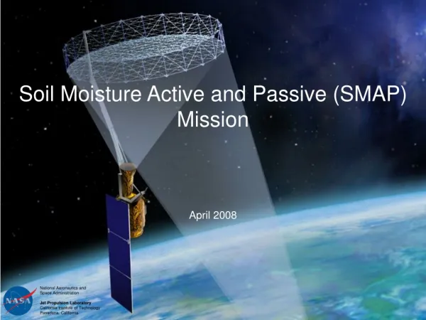
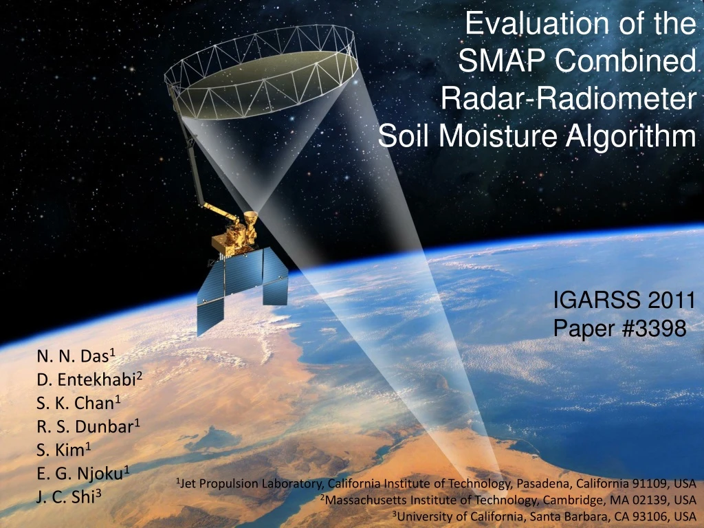
Evaluation of the SMAP Combined Radar-Radiometer Soil Moisture Algorithm IGARSS 2011 Paper #3398 N. N. Das1 D. Entekhabi2 S. K. Chan1 R. S. Dunbar1 S. Kim1 E. G. Njoku1 J. C. Shi3 1Jet Propulsion Laboratory, California Institute of Technology, Pasadena, California 91109, USA 2Massachusetts Institute of Technology, Cambridge, MA 02139, USA 3University of California, Santa Barbara, CA 93106, USA
Overview of the SMAP Mission • SMAP Measurements Approach • Radar • Frequency: 1.26 GHz • Polarizations: VV, HH, HV • Resolution: 3 km • Relative Accuracy: 1.0 dB (HH ,VV), 1.5 dB (HV) • Radiometer • Frequency: 1.41 GHz • Polarizations: H, V, 3rd & 4th Stokes • Resolution: 40 km • Relative Accuracy: 1.3 K • Shared Antenna • Constant Incidence Angle: 40º • Wide Swath: 1000 km • Orbit • Sun-Synchronous, 6 am/pm Orbit, 680 km
L-band Active/Passive Assessment National Aeronautics and Space Administration Jet Propulsion Laboratory California Institute of Technology Pasadena, California • Soil Moisture Retrieval Algorithms Build on Heritage of Microwave Modeling and Field Experiments • MacHydro’90, Monsoon’91, Washita92, Washita94, SGP97, SGP99, SMEX02, SMEX03, SMEX04, SMEX05, CLASIC, SMAPVEX08, CanEx10 • Radiometer - High Accuracy (Less Influenced by Roughness and Vegetation) but • Coarser Resolution (40 km) • Radar- High Spatial Resolution (1-3 km) but More Sensitive to Surface Roughness and Vegetation • Combined Radar-Radiometer Product Provides • Blend of Measurements for Intermediate Resolution • and Intermediate Accuracy
SMAP Level 1 Science Requirements (1) North of 45°N Latitude (2) % volumetric water content, 1-sigma (3) % classification accuracy (binary: Freeze or Thaw)
Definitions and Data Products Flow nc = 1 L1C_TB TB TBdisaggregation (Das et al., Preliminary ATBD) (TGARS, submitted) C nm = 16 L2_SM_AP Merge Algorithms Mnm nf = 144 L1_S0_HiRes σ Fnf C= Coarse (~36 km Radiometer) Mnm= Medium (~9 km Merged Product) Fnf= Fine (~3 km Radar)
L2_SM_AP Radar-Radiometer TB Disaggregation Algorithm DOY, 2002 TBh~4 km σvv ~800 m 176 SMEX02 Temporal Changes in TBand σppare Related. Relationship Parameter β is Estimated Statistically at Radiometer C-Scale Using Successive Overpasses: 178 182 183 186 Same evaluated at scale Mj: 187 188 Subtract Two Equations to Write: 189 K dB R2(Low: 0.65, High: 0.93) values between TBhand σvv
L2_SM_AP Radar-Radiometer Algorithm Heterogeneity in Vegetation and Roughness Conditions Estimated by Sensitivities Γin Radar HV Cross-Pol: Based on PALS Observations From: SGP99, SMEX02, CLASIC and SMAPVEX08 TB-Disaggregation Algorithm is: TB( Mj) is Used to Retrieve Soil Moisture at 9 km
Active-Passive Algorithm Performance Active-Passive Algorithm RMSE: 0.033 [cm3 cm-3] Minimum Performance Algorithm RMSE: 0.055 [cm3 cm-3] Combined Airborne Data From: SGP99, SMEX02, CLASIC and SMAPVEX08
The Role of Cross-Pol in Capturing Heterogeneity Minimum Performance Algorithm RMSE: 0.055 [cm3 cm-3] Active-Passive Algorithm Without Cross-Pol RMSE: 0.043[cm3 cm-3] Active-Passive Algorithm RMSE: 0.033 [cm3 cm-3]
Assessment of L2_SM_AP Algorithm Using SMAP Algorithm Testbed Study region selected from the CONUS domain.
Global Composite Map of Soil Moisture for April 02 V/V Sample of L3_SM_AP Output from SMAP Algorithm Testbed
PALS data verifies that the assumption (linear TB-log[σ] relationship) holds well as the basis for the L2_SM_A/P algorithm • With current baseline approach, the algorithm meets the SMAP Level-1 requirements • Algorithm relies on radar co-pols and cross-pols • L2_SM_AP processor developed in SMAP Testbed Summary
Work in Progress • Optimize length of temporal window (balance between phenology and statistical robustness) • Develop and mature algorithm prior parameters database for Bayesian estimation • Develop and mature L2_SM_A/P error budget table
Acknowledgements Andreas Colliander Jet Propulsion Laboratory Joel Johnson Ohio State University NASA SMAP Project