Download
1 / 8
80 likes | 188 Views
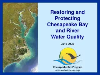
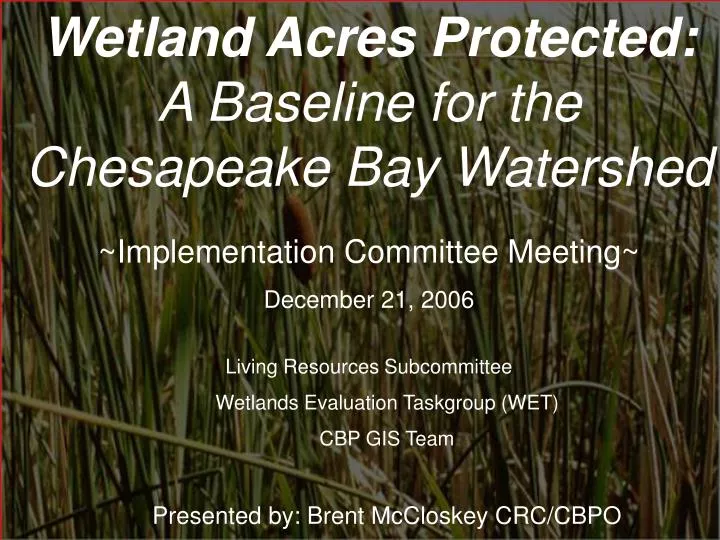
Wetland Acres Protected: A Baseline for the Chesapeake Bay Watershed. ~Implementation Committee Meeting~ December 21, 2006 Living Resources Subcommittee Wetlands Evaluation Taskgroup (WET) CBP GIS Team Presented by: Brent McCloskey CRC/CBPO. Outline Project Background and Overview

E N D
Wetland Acres Protected:A Baseline for the Chesapeake Bay Watershed ~Implementation Committee Meeting~ December 21, 2006 Living Resources Subcommittee Wetlands Evaluation Taskgroup (WET) CBP GIS Team Presented by: Brent McCloskey CRC/CBPO
Outline • Project Background and Overview • Methodology • Results ~ Calculations (handout) • Requested IC Action
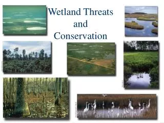
Background 2005 Wetland Evaluation LRSc / PSC Recommendations… CHARGE: “WE agree to work with the Living Resources Subcommittee to track wetland protection beginning in 2006, access progress in 2007, and develop a new CBP wetlands protection acreage goal based on data assembled from federal, state and local government agencies and non-government organizations by 2008” -Principals’ Staff Committee
Methodology • Step I. • Collect protected lands/easement data from the states • Identify easement duration (i.e. 15, 30, perpetual) • data provided does not specify duration of conservation easements • Bay Program tracking has fields for both short and long-term protection Step II. • Collect NWI Data for each jurisdiction (more refined wetland data where available) Step III. • Project the protected lands/easement layer and overlay with National Wetlands Inventory (NWI) layer. Step IV. • Calculate acreage based on intersection of protected lands and NWI layers.
Methodology Cont’d • NWI Data Explained…. • Chose an updated 2006 NWI dataset (1997-2006, segments flown) • Uniform throughout the Watershed states • Uniform wetland classification REFINED WETLAND DATA: • Maryland and Delaware – comprehensive wetlands dataset - encompass more than NWI
FINDINGS: • Total Acreage of wetlands in protection (i.e. “baseline”) is 114,034 acres • 6% of all identified wetlands in the Chesapeake watershed are in protected status • Breakdown of protection in each jurisdiction also was produced (handout)
Requested IC Action: • Approve this product as a baseline estimate for wetland acreage protected in the basin • Confirm the timeline associated with the remaining two steps in the PSC charge.