Download
1 / 8
80 likes | 213 Views
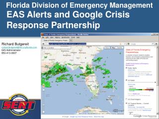
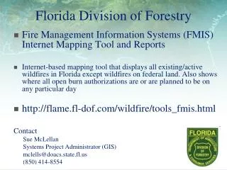
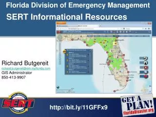
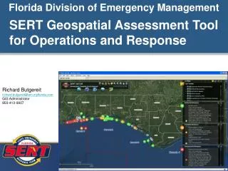
Florida Division of Emergency Management. SERT Geospatial Assessment Tool for Operations and Response. Richard Butgereit richard.butgereit@em.myflorida.com GIS Administrator 850-413-9907. http://map.floridadisaster.org/GATOR Geospatial Assessment Tool for Operations and Response

E N D
Florida Division of Emergency Management SERT Geospatial Assessment Tool for Operations and Response Richard Butgereit richard.butgereit@em.myflorida.com GIS Administrator 850-413-9907
http://map.floridadisaster.org/GATOR Geospatial Assessment Tool for Operations and Response web mapping application real-time data like weather radar, watches, storm reports base map, event, and post-event data GATOR