Download
1 / 18
190 likes | 321 Views
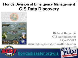
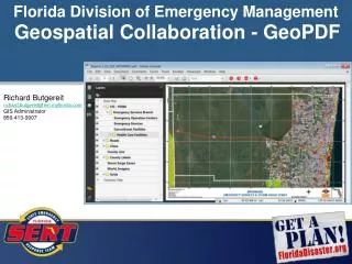
Florida Division of Emergency Management. Geospatial Collaboration - GeoPDF. Richard Butgereit richard.butgereit@em.myflorida.com GIS Administrator 850-413-9907. http://map.floridadisaster.org/GATOR Geospatial Assessment Tool for Operations and Response web mapping application

E N D
Florida Division of Emergency Management Geospatial Collaboration - GeoPDF Richard Butgereit richard.butgereit@em.myflorida.com GIS Administrator 850-413-9907
http://map.floridadisaster.org/GATOR Geospatial Assessment Tool for Operations and Response web mapping application real-time data like weather radar, watches, storm reports base map, event, and post-event data GATOR
KML for Google Earth • http://map.floridadisaster.org/GIS/KML • Downloadable Map Index
Map Book Templates • DS Map Book (free extension to ArcMap • Produce 4,000 m x 5,000 8.5” x 11” 1:24,000 scale maps • Style guide, templates and video from Delta State University linked from http://www.floridadisaster.org/gis/USNG/index.htm#mapbooks
USGS Response Maps • Map series provided by USGS • Based on the 7.5 quadrangle map series • KML index file facilitates download from FDEM web site